H2O: Walking By The Los Angeles River

Los Angeles has a weird relationship with water. Most years there isn’t enough rain to support the region’s population, agriculture and industry without importing it from surrounding areas. Some years there really isn’t enough. And some years there’s so much rain that floods are a greater threat than drought.

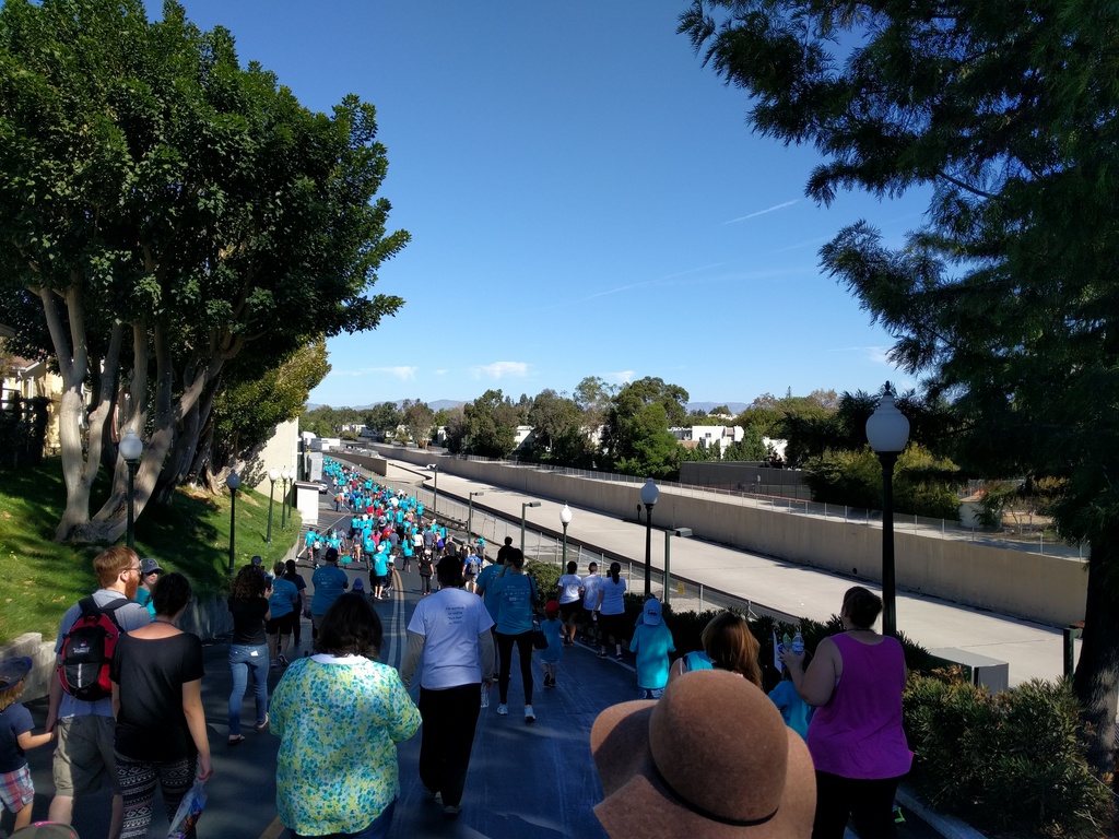
The region’s flood control system is built around that threat, channeling storm water out to sea as quickly as possible. In many places, rivers are lined with concrete, typically with a narrow channel in the middle to keep it flowing during dry spells and a wider channel to prevent flooding. This stretch of the Los Angeles River in Studio City is a good example:

Lots of people walking along a path above a wide concrete-lined trench. Trees on either side, blue sky beyond.

Other parts of the river are much nicer, even navigable at times, but this stretch really is just a concrete drainage ditch inside a bigger drainage ditch.

Unfortunately what’s needed in flood years ends up hurting us in drought years, sending too much of the rain we do get into the ocean instead of collecting it. In recent years they’ve been testing systems to recharge groundwater reserves, but if drought becomes more common — and indications are that it will — we’re going to need to revamp the system.
Let There Be Light! (Weekly Photo Challenge)

In the Lamppost Forest

Urban Light at LACMA is a large square filled with over 200 lamp posts that the artist collected from various locations over several years, spaced wide enough to walk through comfortably. It’s like being in a forest of lamp posts — perfect for this week’s challenge.

The funny thing is, I wasn’t even planning on going there. We went to see the La Brea Tar Pits and Page Museum at the other end of the park. Oil has been seeping out of the ground for thousands of years, trapping animals and preserving their bones in an incredible collection of ice age fossils. But the parking lot on that side of the park was full, so we parked in the LACMA structure at the other end.

Hahn Park at Sunset

Hahn Park at Sunset

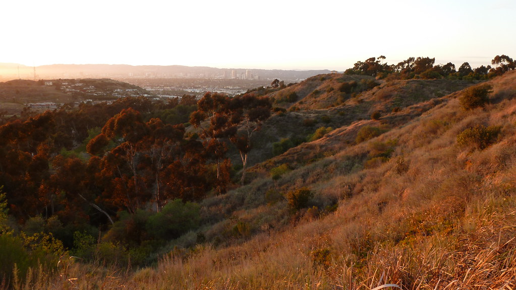
Kenneth Hahn Park sits within the Los Angeles basin, half of a cluster of hills bisected by La Cienega Blvd. The western side is an oil field. The eastern side is broken into a maintained city park and something vaguely resembling wilderness, all of it surrounded by suburbs, homes, retail outlets and light industry. Trails run up into the hills, with benches at scenic viewpoints making it possible to have a picnic lunch while you look across the basin to see — depending on which viewpoint and how clear it is that day — Downtown Los Angeles, Hollywood, Santa Monica, the South Bay or the Palos Verdes Peninsula.

This is somewhere along the trail on the western side of the hills, looking north through the valley. I believe the line of buildings in front of the Santa Monica Mountains is Wilshire Blvd.

Sunset Double Rainbow over LA

Sunset Double Rainbow and Airplane Over LA

I was on the top of a parking structure near LAX to take pictures of the clouds, and was just about to head down when I saw a fragment of the primary rainbow appear. I decided to stick around and keep watching, and was rewarded when it brightened and lengthened, and then a faint secondary bow (just to the right of the airplane) came into view.