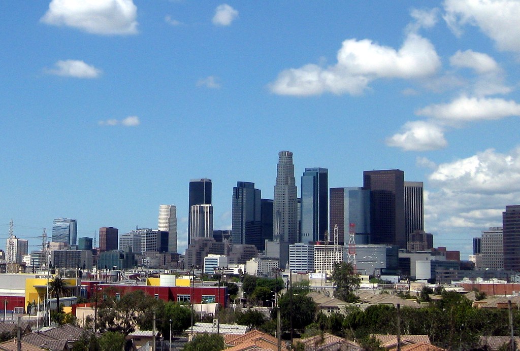
Los Angeles skyline seen from US Highway 101, taken on a clear April day…and a much cooler day than today’s record-setting 113 degrees!
Category: Parallel Lines
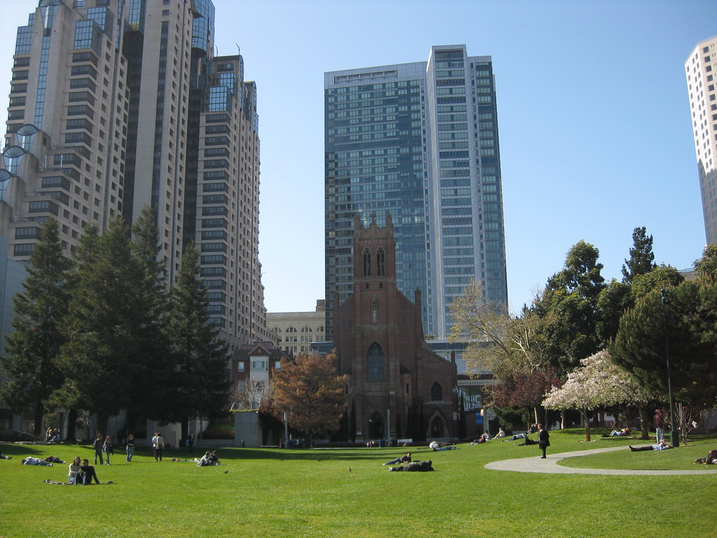
Yerba Buena Gardens
Looking north across the park on a spring afternoon during WonderCon 2010. It rained most of the weekend, but the one day we were (mostly) indoors was the one day that the sun came out.
The tiered building to the left is the Marriott Marquis, the convention hotel. The church across the way is St. Patrick’s. The tall building behind it is the Four Seasons hotel.
Photo: Yerba Buena Gardens
Santiago Canyon in Green
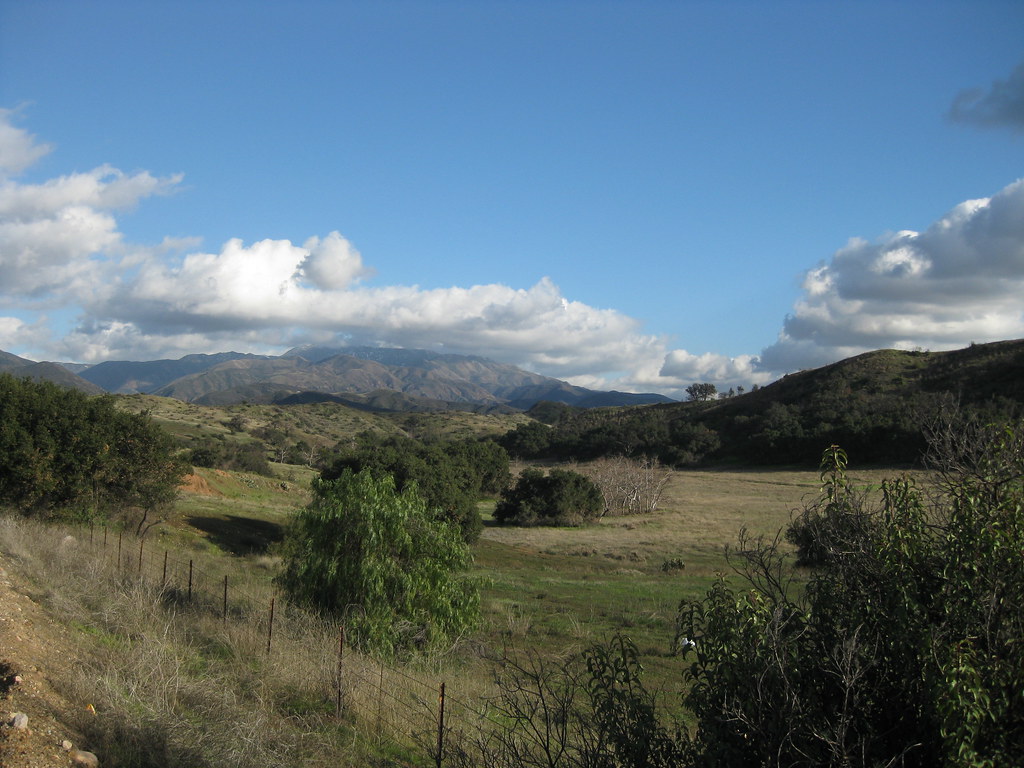
Santiago Canyon after Rain, originally uploaded by Kelson.
Looking roughly southeast on the side of Santiago Canyon Road, somewhere between Irvine Lake and the turnoff for Silverado Canyon. The peaks of Saddleback, with a dusting of snow barely visible at larger sizes, are shrouded in clouds.
Taken between rainstorms last January.
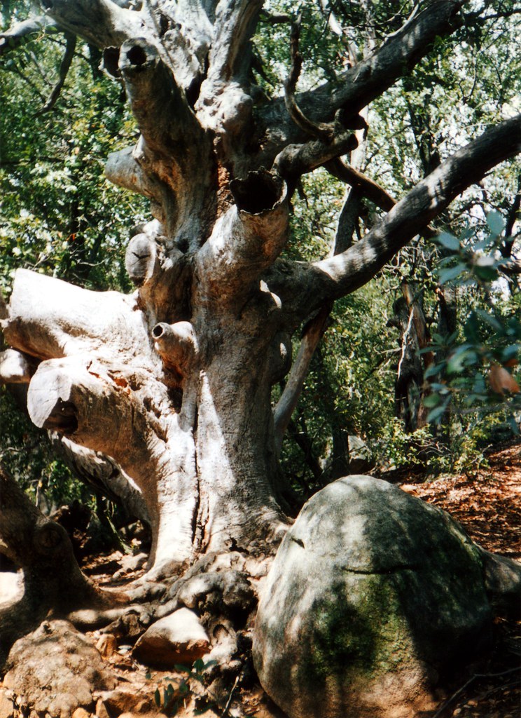
Gnarled Tree
Somewhere in Cuyamaca State Park (now Cuyamaca Rancho State Park) in the mountains east of San Diego, California. We camped at Paso Picacho, but I don’t remember whether this was near the campsite or spotted during a hike.
This was taken in April 2002, about a year and a half before a devastating fire destroyed large areas of the park.
(It was also about a year before I got my first digital camera, so this image was scanned from a print.)
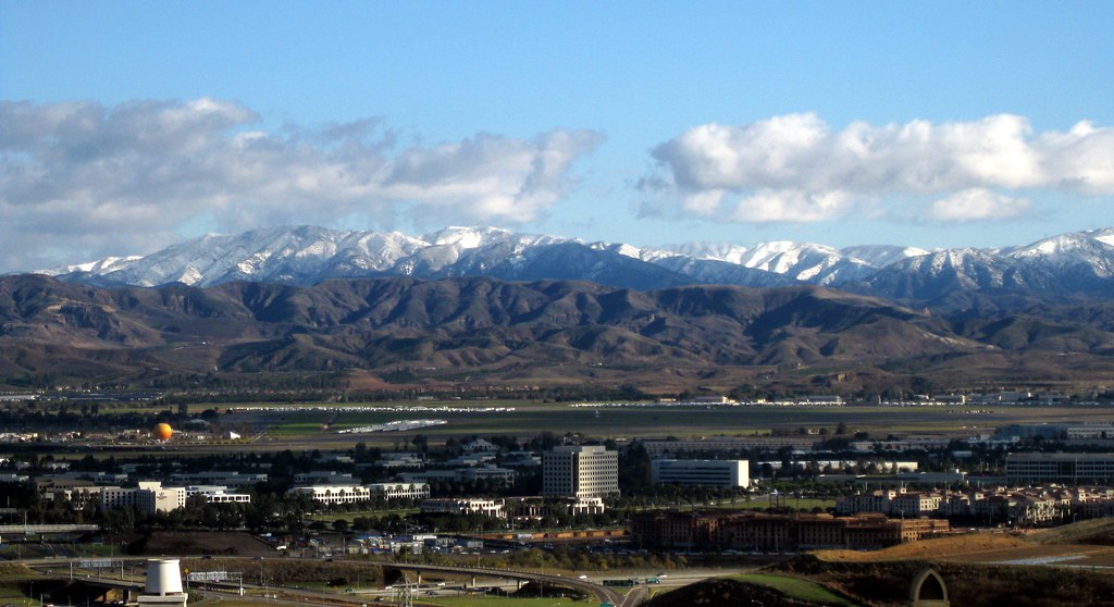
Santa Ana Mountains Snow II
According to Flickr, this is my most interesting* photo that isn’t someone in costume at a fan convention. It’s #68 on the list!
The photo was taken December 18, 2008, after a storm passed through Orange County and did something unusual: it blanketed the Santa Ana Mountains with snow. Saddleback typically gets a light dusting a couple of times a year, and the next peak down sometimes gets a little snow that melts by noon, but it’s rare for the snow to reach any lower.
The vantage point is a housing development on Quail Hill, looking southeast over the Irvine Spectrum area. You can see the Great Park Balloon near the left. Saddleback itself is out of frame to the right, but you can see its base (the peaks are covered in clouds) in the panorama I shot at the same time.
*Flickr’s “interestingness” is a measure that combines a count of views, comments, and “favorites.” The exact balance is secret, but from what I can tell, comments outweigh favorites, which outweigh views.
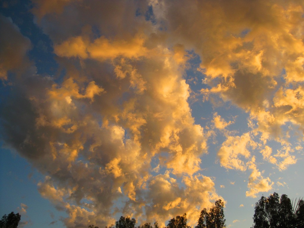
Maxfield Parrish Sky
Maxfield Parrish Sky, originally uploaded by Kelson.
One night last October, I stepped out of the office building and felt like I’d stepped into a Maxfield Parrish painting. The whole sky looked like this. (Or at least the half that was visible.) It literally stopped me in my tracks.
I spent the next 15 minutes walking around the parking lot, watching the lighting on the clouds change as the sun set and taking pictures.
Santa Ana Mountains Snow

Santa Ana Mountains Snow – Quail Hill View, originally uploaded by Kelson.
Monday’s storm didn’t leave much snow on Saddleback (though the San Gabriel Mountains were pretty well covered), but it’s been cold enough that I half-suspect this weekend’s storm will leave a bit more.
So here are a couple of views of the Santa Ana Mountains and the Irvine Spectrum from last December, seen from Quail Hill. The first was taken the morning after the storm ended. The second was taken the following day at lunchtime. I’ve also got a full panorama taken at the same time as the first photo.

Santa Ana Mountains Snow – Quail Hill Revisited, originally uploaded by Kelson.
Strawberry Flower
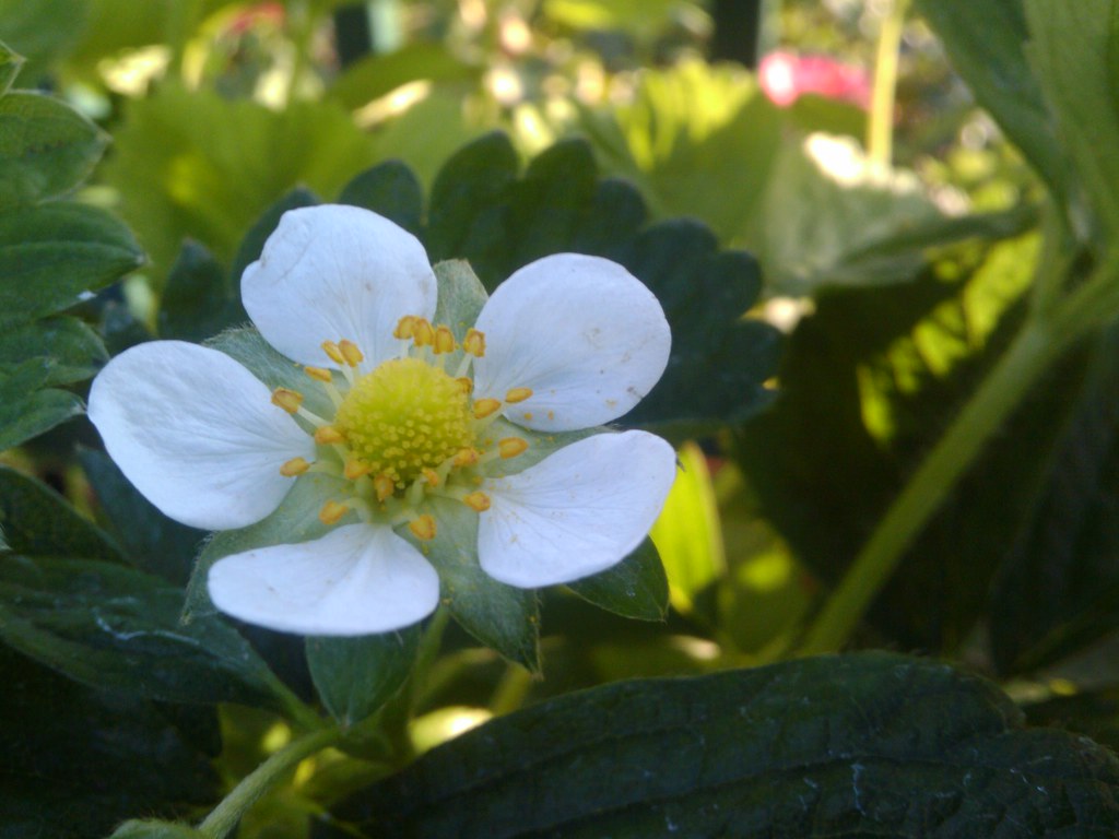
Strawberry Flower, originally uploaded by Kelson.
My wife and I stopped at a nursery to pick up a sage plant this weekend, and there was a shelf of strawberries with one solitary flower.
I have no idea how I managed to get something this sharp with my phone!
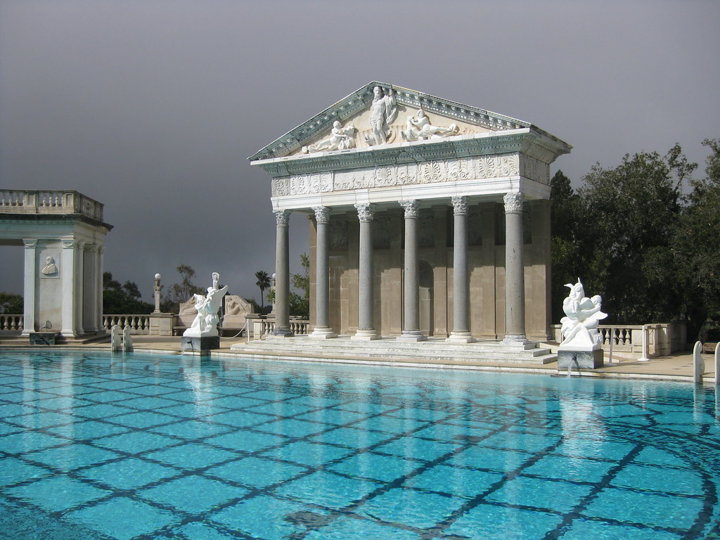
Neptune Pool (Hearst Castle)
The main outdoor swimming pool at Hearst Castle in San Simeon, California. Taken on a tour last February.
This was at least the third time I’ve been to Hearst Castle, and the second time as an adult. I vaguely remember visiting when I was eight, or ten, or somewhere around that age. Years later, in 2008, my wife and I planned a trip to San Francisco and decided to do it in stages, including a stopover at Hearst Castle. We only had time for one of the four tours, so when we planned another trip this year, we made sure to include another stop in San Simeon. This time we had a little more sense of how much time was involved, and managed to fit in two of the remaining tours.
At some point, we need to head back during spring or summer when they’re running the garden tour.
Morning Glories
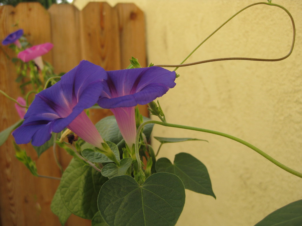
Morning Glories, originally uploaded by Kelson.
Last year my wife and I found some morning glories growing in our backyard, and decided to train them with twine to grow along the back wall. They did phenomenally well…and then produced a zillion seed pods, reminding us that they’re often classified as weeds.
They’re gone now.
