Icy Hot?

Icy?

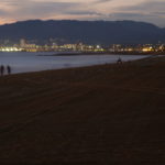
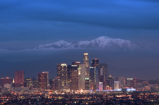
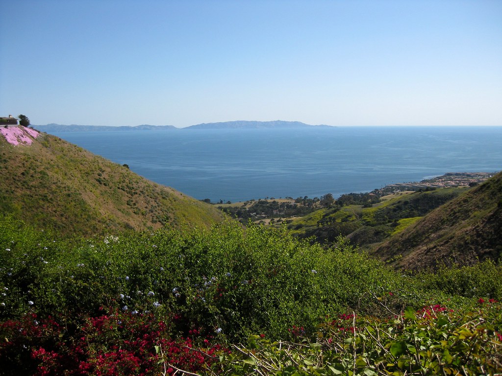
It’s hard for me to really pick a photo that says “warmth.” Perspective on cold is different in Southern California, where winters approach but rarely drop below freezing, and the winter rains make December through April the greenest months of the year. So we don’t use fires much, and flowers and greenery make me think of the cool winter/spring weather instead of the hot, dry, brown summers. Even beaches make me think of late afternoon ocean breezes.

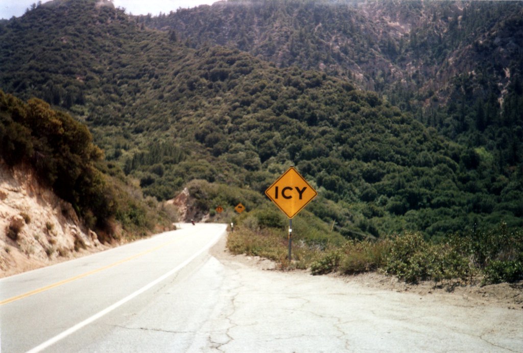
So I thought I’d pull out a shot for irony: An “Icy” warning sign somewhere in the San Gabriel Mountains, seen during the warmth of spring…when it most definitely isn’t icy!

Contrast: Power plant with a Wyland whale mural

Contrast: #powerplant with a #Wyland #whale #mural. This plant in #RedondoBeach #California is set to be decommissioned when new environmental protections go into effect, and the city and plant owner have been debating the future of the site. #smokestacks #industrial #art #whales

Contrast: #powerplant with a #Wyland #whale #mural. This plant in #RedondoBeach #California is set to be decommissioned when new environmental protections go into effect, and the city and plant owner have been debating the future of the site.

On K2R

Curves of Morro Bay

Morro Bay From Afar

Morro Bay lies along the central California Coast near San Luis Obispo, and is known for two major landmarks: Morro Rock, a large volcanic dome right near the shoreline, and a power plant with three very tall smokestacks.

Some miles north, Highway 46 cuts through the coastal mountains from Cambria to Paso Robles, revealing cattle ranches, wineries, and empty hills. There’s one spot along the road where the hills part, revealing a perfect view of the bay and the rock. Better yet, there’s a turnout, making it easy to stop and look.

The first time I drove this way, it was gray and overcast, and might actually have been raining. A year later I took the same drive again on an sunny day, unable to remember how far along the turnout was but watching for it the whole way. The result: this shot.

The curves of the dome, the bay, the rolling hills and the patch of heavier vegetation all fit in with this week’s photo challenge theme.

Manhattan Beach at Night

Manhattan Beach at Night on Flickr.

My first attempt to spot Comet Pan-Starrs on Monday evening didn’t work out, but I got to look back at the coast from the end of the pier, which was nice. You can see the Palos Verdes hills/peninsula in the background to the right.

Read about my comet-watching experience.

Santa Monica Bay at Dawn

Santa Monica Bay at Dawn

I don’t usually get out before sunrise, but on this particular morning in 2011 I was up to watch a lunar eclipse. I found myself out on the road running along the top of the cliffs near the beach, watching the eclipsed moon set through the haze above the ocean.

You can see the Redondo Beach power plant near the right, with the pier in front of it and King Harbor jutting out into the bay. Way off in the distance you can see the lights of Santa Monica and Malibu, with the Santa Monica mountains behind them.

Sunset Clouds Above Downtown LA (2/2)

Sunset Clouds Above Downtown LA (2/2) on Flickr.

Gorgeous day after a rainstorm. I kept checking to see whether the San Gabriel Mountains had snow, but the clouds never quite lifted. Even at sunset only the lower slopes were visible…but those clouds made for some spectacular sunset viewing.

Bridge Under Construction

Bridge Under Construction

Eventually, this will connect the Hilton Bayfront parking structure with the Petco Park parking lot. It’s not exactly an ideal spot for the convention — they really need a bridge near 5th Street — but it should help a little when it’s completed.

At Comic-Con International ← Check out my write-ups.