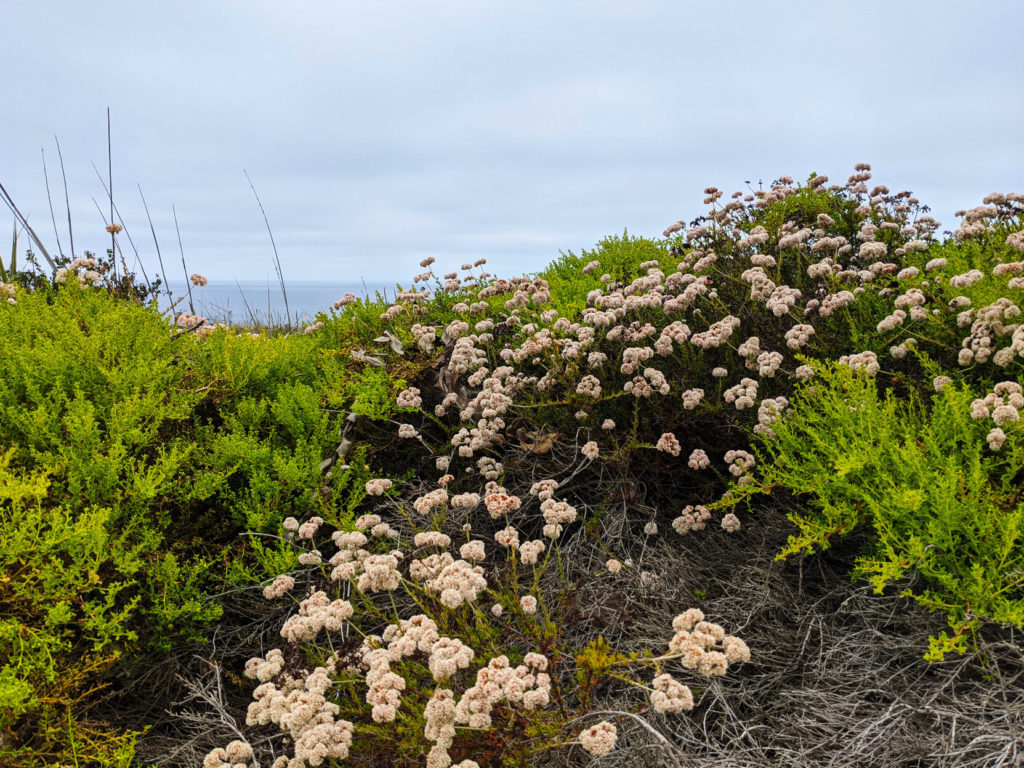
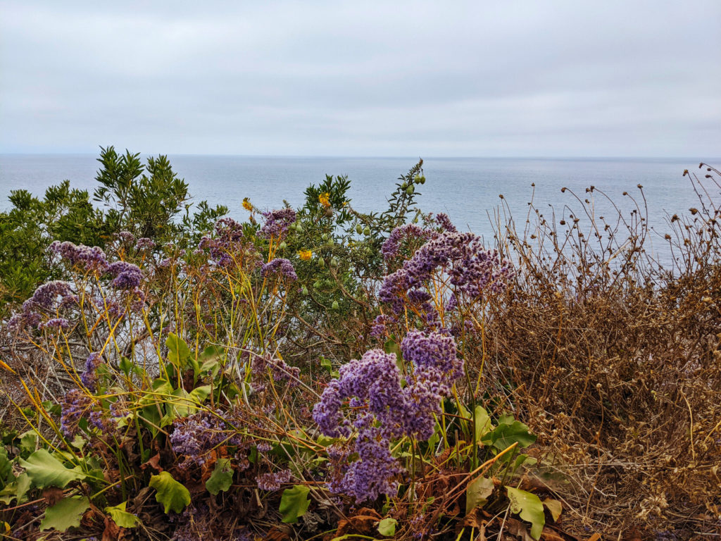
Coastal hike at Vicente Bluffs Reserve, on the peninsula southwest of Los Angeles.
#nature #ocean #california #hiking #flowers #cove #coast #florespondence #photo
Archiving my Twitter, Facebook and other social network activity
Coastal hike at Vicente Bluffs Reserve, on the peninsula southwest of Los Angeles.
#nature #ocean #california #hiking #flowers #cove #coast #florespondence #photo
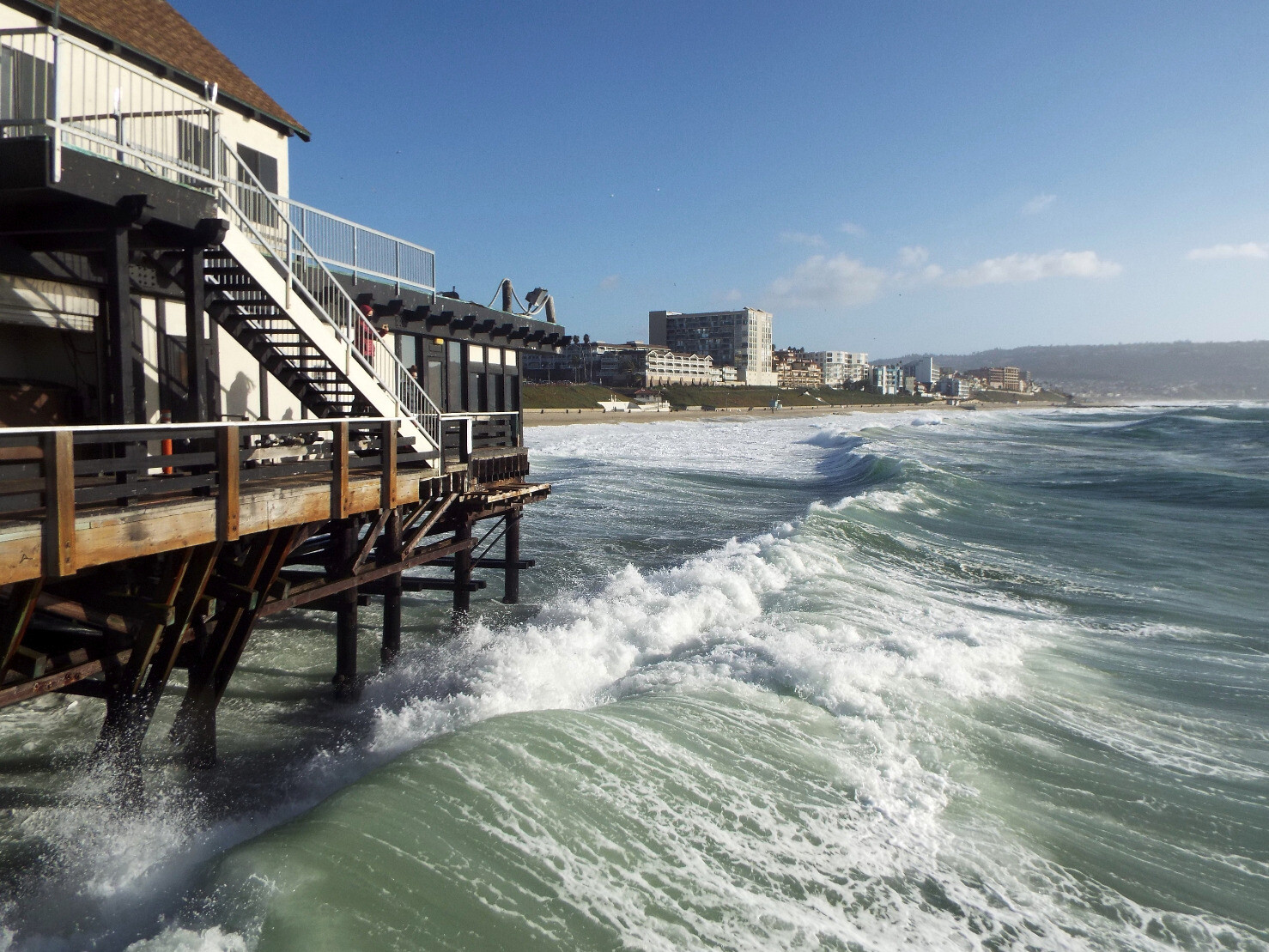
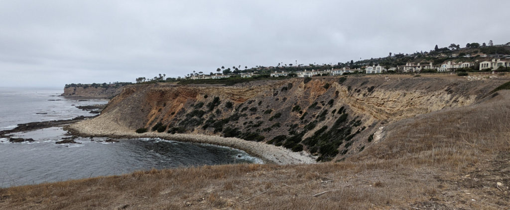
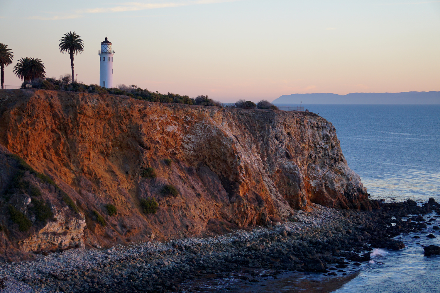
Picked out the best shots of the #PointVicente bluffs. I got there mid-afternoon & took some photos of the #cove with the historic #lighthouse (and could actually see Catalina Island in the distance!)
Then I walked along the blufftop path along the nature reserve for a while, before turning back to reach the lighthouse area by sunset.
#photo #ocean #california #PalosVerdes #coast

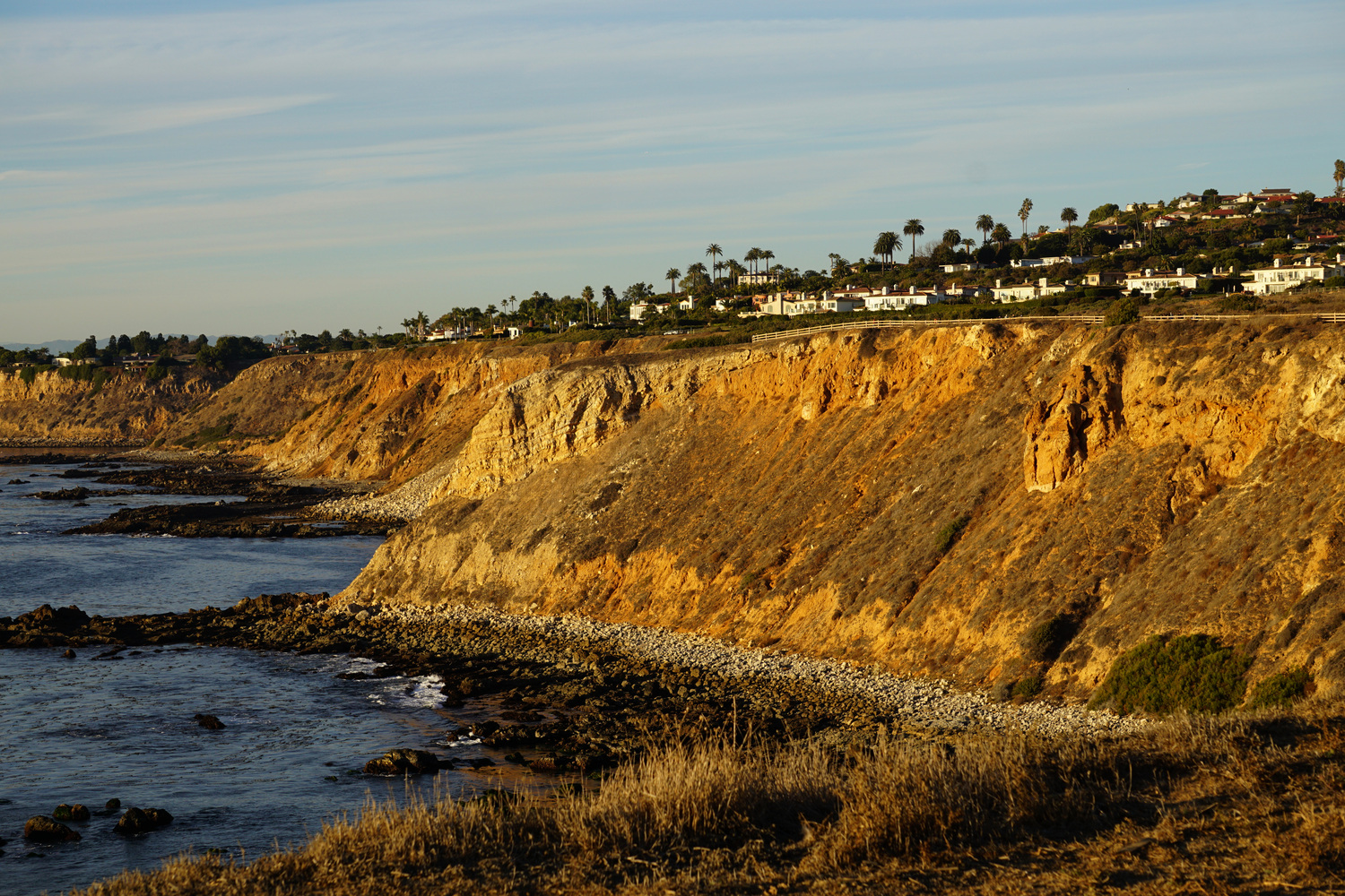

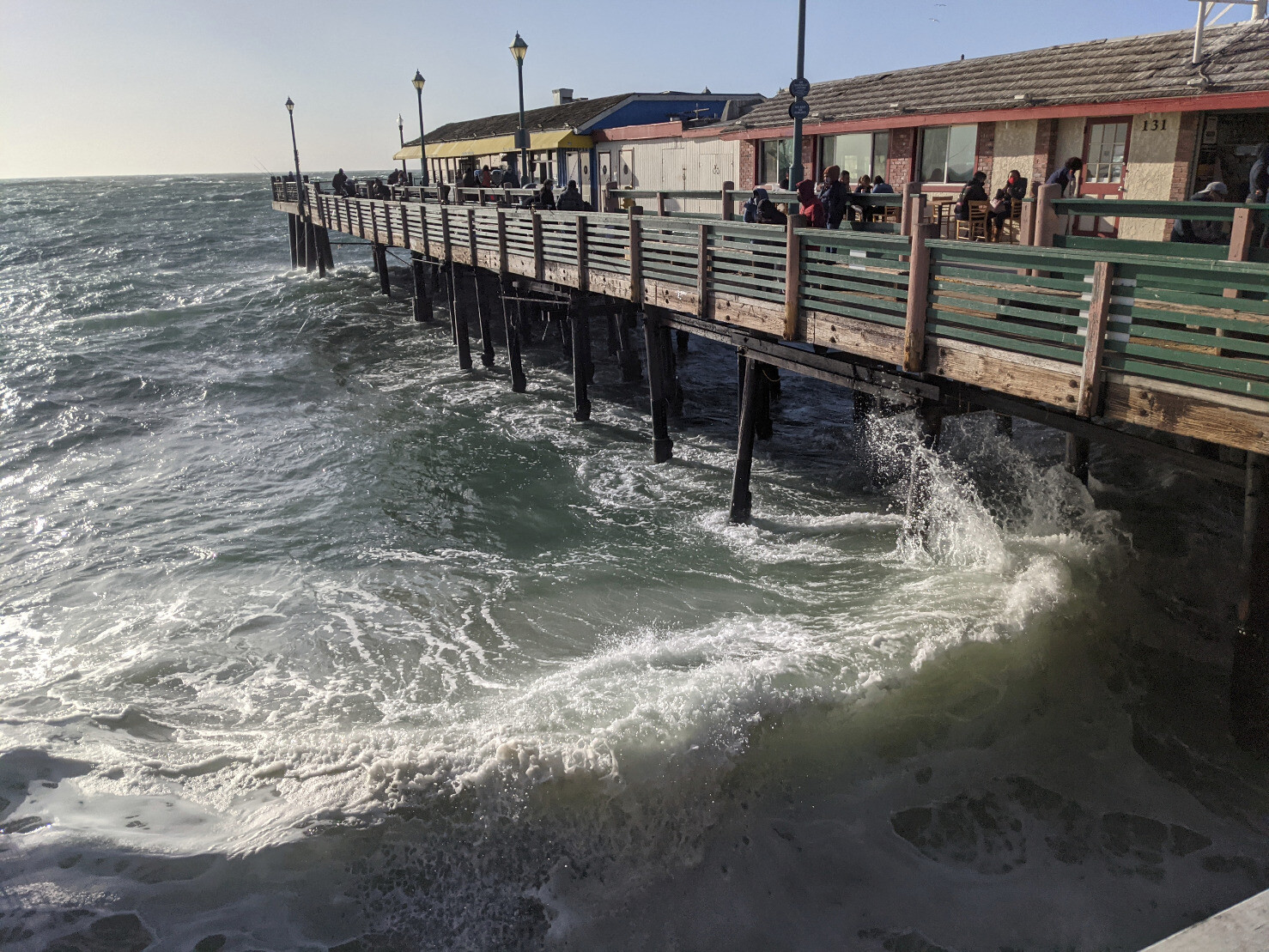
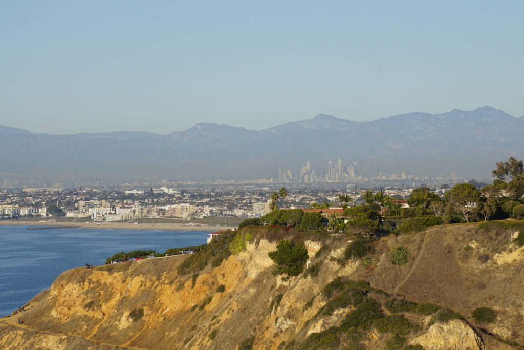
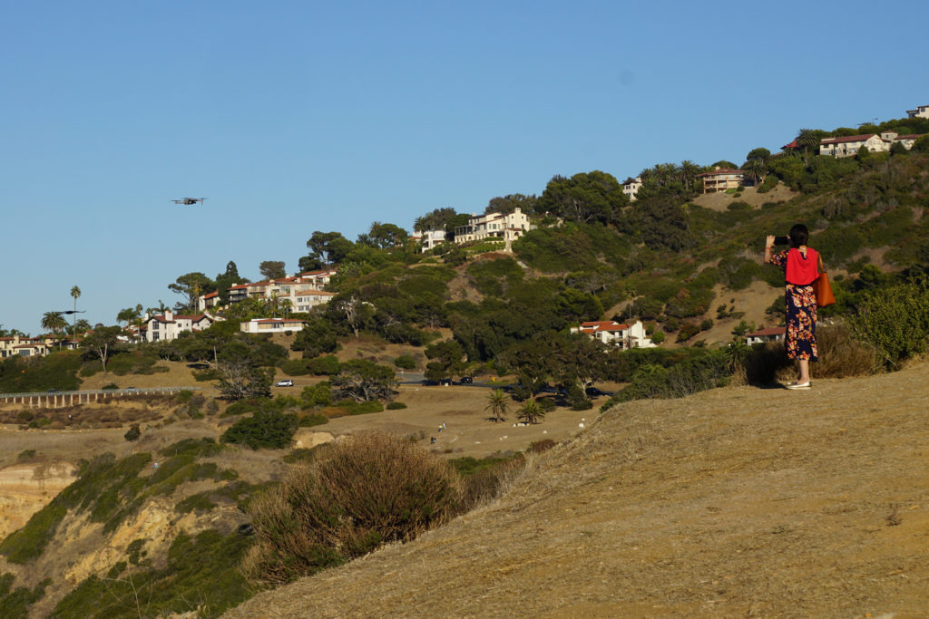
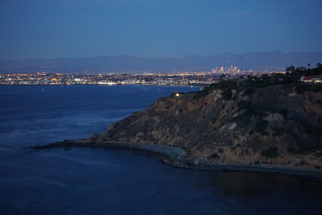
On the way to and from Point Vicente, I stopped at Bluff Cove (also on the Palos Verdes peninsula). I was surprised to find that I could plainly see the skyscrapers of downtown Los Angeles in the distance. I guess I’d never been there on a clear enough day before.
There were more people than I expected, but everyone was maintaining distance and most of them were masked up.
Really wish I’d had a tripod for the evening shot, though
#photo #coast #California #LosAngeles #cove #ocean #PalosVerdes
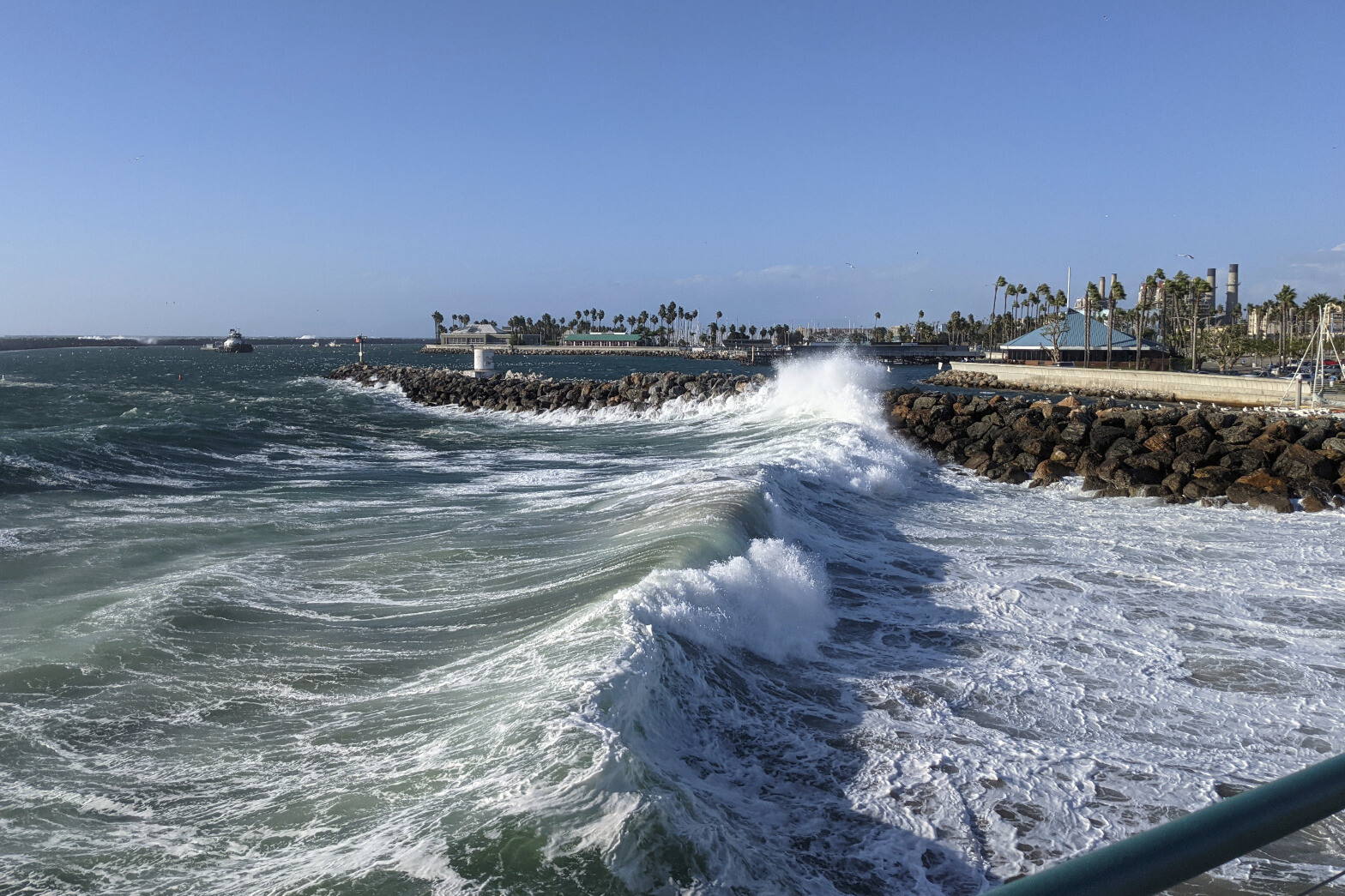
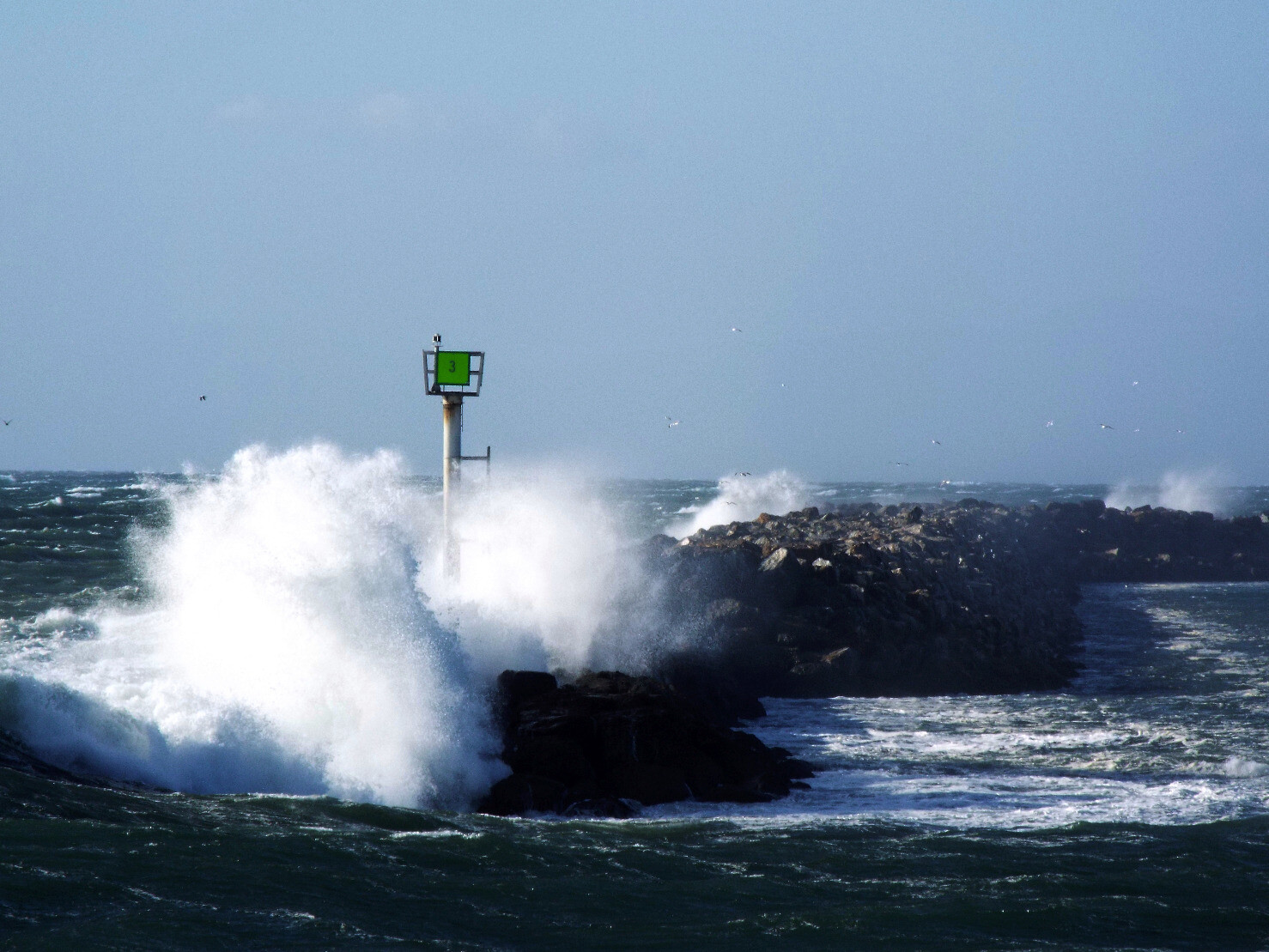
Waves breaking over the end of a jetty across the way.
Fun fact: I discovered that if the wind is strong enough, it can blow a camera neck strap up and completely off of your head.
Not so fun fact: It was also blowing the tethered lens cap on directly into my face.
#waves #ocean #coast #jetty #photo
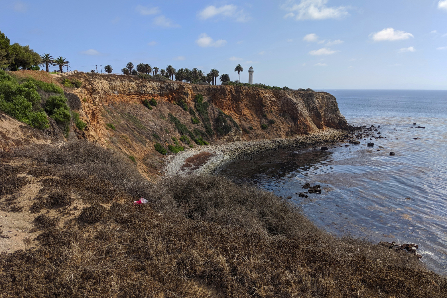
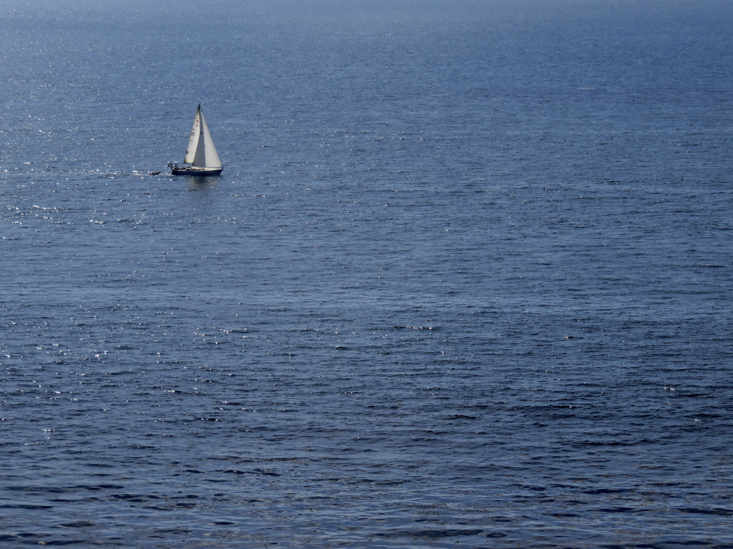
At #PointVicente, California: A wren(?) on the side of the cliffs, the iconic view of the cove and the historic #lighthouse, and a #sailboat alone on the sea.
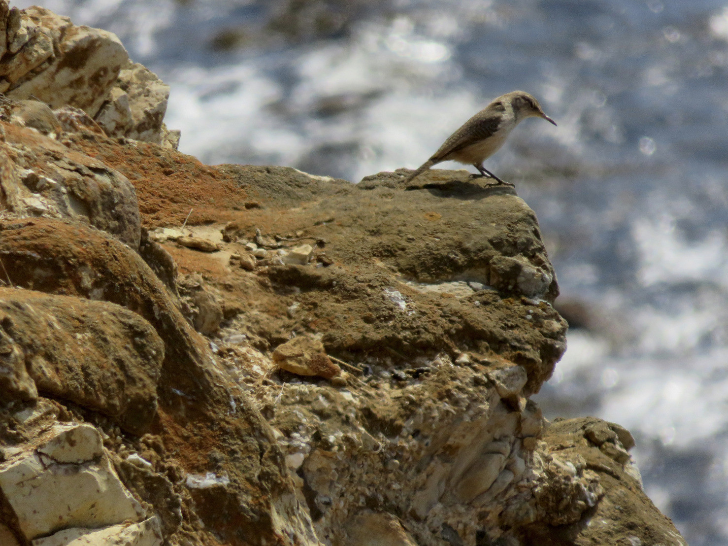
iNat has suggested the bird is a rock wren.
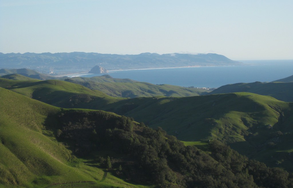
Morro Bay lies along the central California Coast near San Luis Obispo, and is known for two major landmarks: Morro Rock, a large volcanic dome right near the shoreline, and a power plant with three very tall smokestacks.
Some miles north, Highway 46 cuts through the coastal mountains from Cambria to Paso Robles, revealing cattle ranches, wineries, and empty hills. There’s one spot along the road where the hills part, revealing a perfect view of the bay and the rock. Better yet, there’s a turnout, making it easy to stop and look.
The first time I drove this way, it was gray and overcast, and might actually have been raining. A year later I took the same drive again on an sunny day, unable to remember how far along the turnout was but watching for it the whole way. The result: this shot.
The curves of the dome, the bay, the rolling hills and the patch of heavier vegetation all fit in with this week’s photo challenge theme.
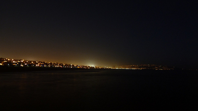
Manhattan Beach at Night on Flickr.
My first attempt to spot Comet Pan-Starrs on Monday evening didn’t work out, but I got to look back at the coast from the end of the pier, which was nice. You can see the Palos Verdes hills/peninsula in the background to the right.
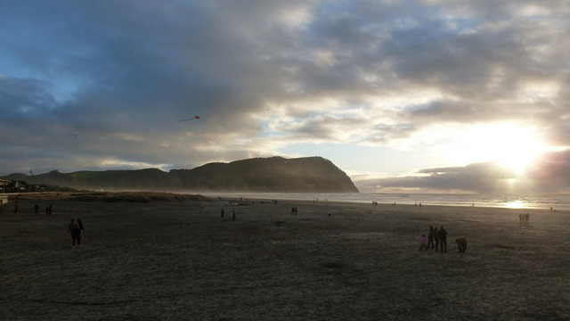
Seaside at Sunset on Flickr.
Beach head at Seaside, Oregon, near the end of the Lewis and Clark Trail, just before sunset after a day of patchy rain.
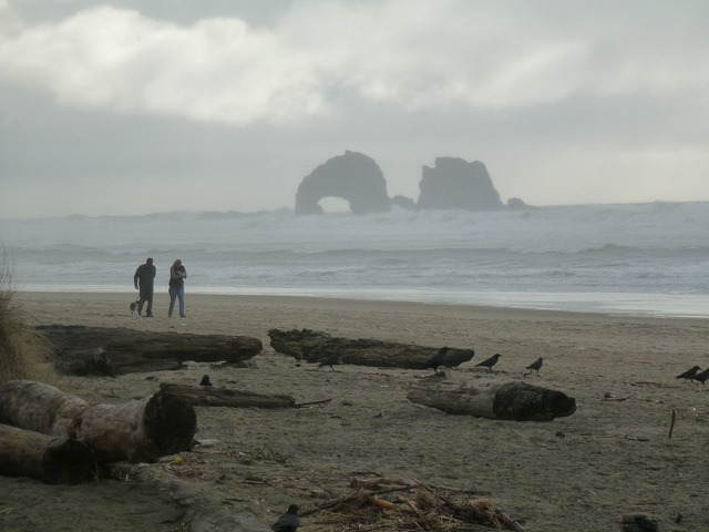
Rocks away from the beach at Rockaway Beach on Flickr.