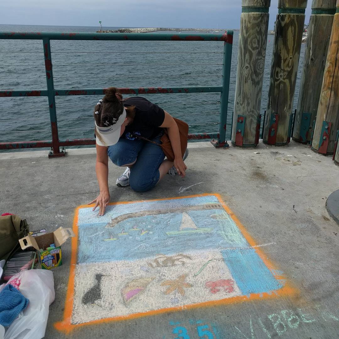
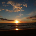
Photo taken at: Redondo Beach Pier
Putting the finishing touches on the chalk art. Ocean view theme (easy to find inspiration), family division.
Archiving my Twitter, Facebook and other social network activity
Photo taken at: Redondo Beach Pier
Putting the finishing touches on the chalk art. Ocean view theme (easy to find inspiration), family division.
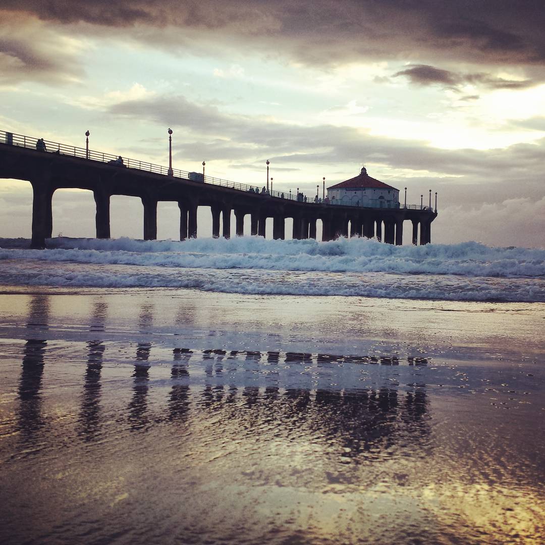
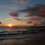
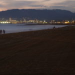
Photo taken at: Manhattan Beach Pier
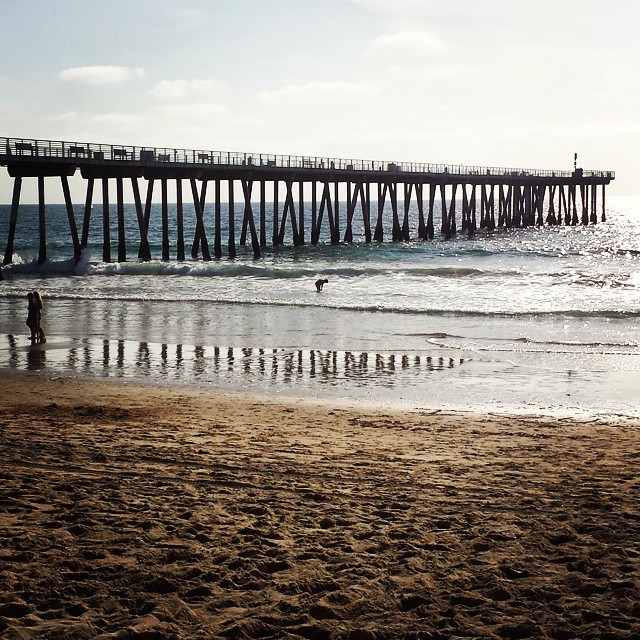
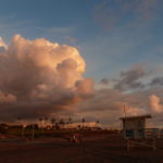
Photo taken at: Hermosa Beach Pier
Finally checked out the Hermosa Beach pier last week and it turns it it’s closed for construction. #pier #beach #ocean #hermosabeach #California
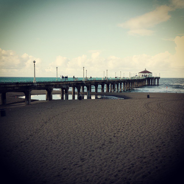
Looks like the storm left some puddles behind. #manhattanbeach #pier #ocean #beach
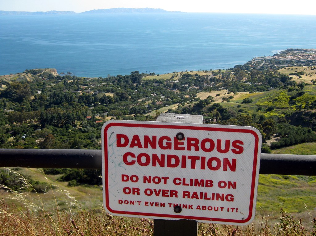
I couldn’t decide between these two photos for the latest photo challenge. The first is a warning sign at the edge of Del Cerro Park in Rancho Palos Verdes. It’s a part up at the top of the hill, ending in if not exactly cliffs, a steep drop hundreds of feet down as the hills roll toward the ocean.
“Danger” signs are a dime a dozen. It’s the “Don’t even think about it!” that struck me as photo-worthy.
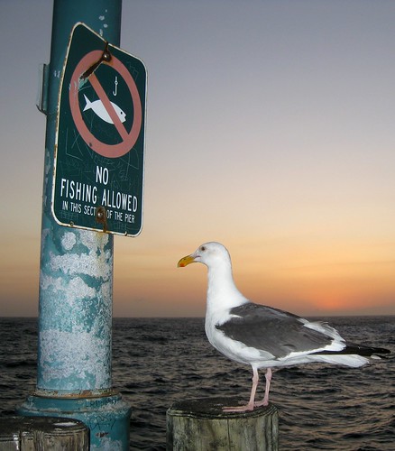
As for this second one, it’s not so much the sign that I found interesting as the fact that the bird looks like it’s staring at it, dismayed.
“Gee, I hope this doesn’t apply to seagulls, too!”
I collect pictures of funny/odd/interesting signs at K-Squared Ramblings, so if you’re interested in more, head over there for a look.
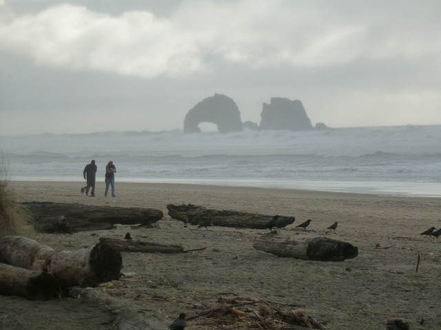
Rocks away from the beach at Rockaway Beach on Flickr.
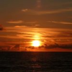

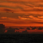
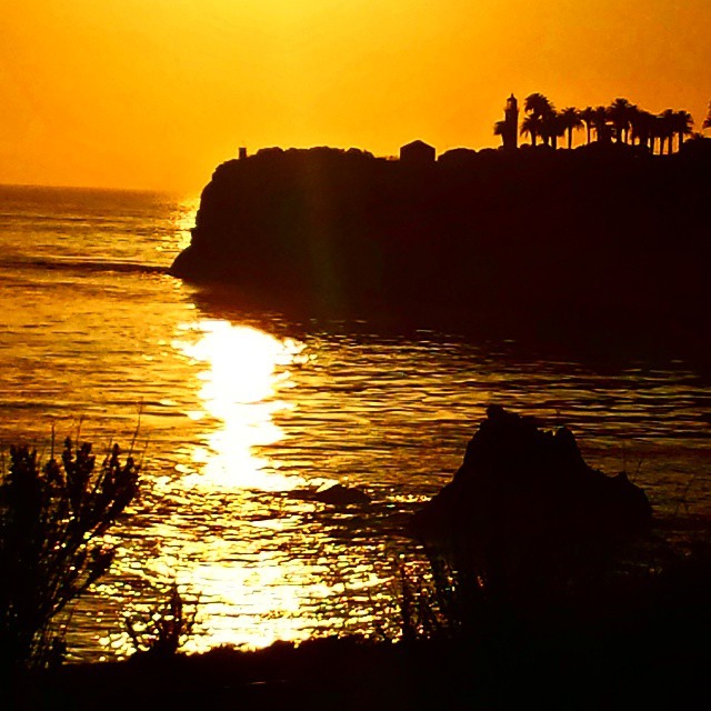
Tonight’s sunset over Santa Monica Bay, seen from Dockweiler Beach in El Segundo. Full photoset at Flickr.