H2O: Walking By The Los Angeles River

Los Angeles has a weird relationship with water. Most years there isn’t enough rain to support the region’s population, agriculture and industry without importing it from surrounding areas. Some years there really isn’t enough. And some years there’s so much rain that floods are a greater threat than drought.

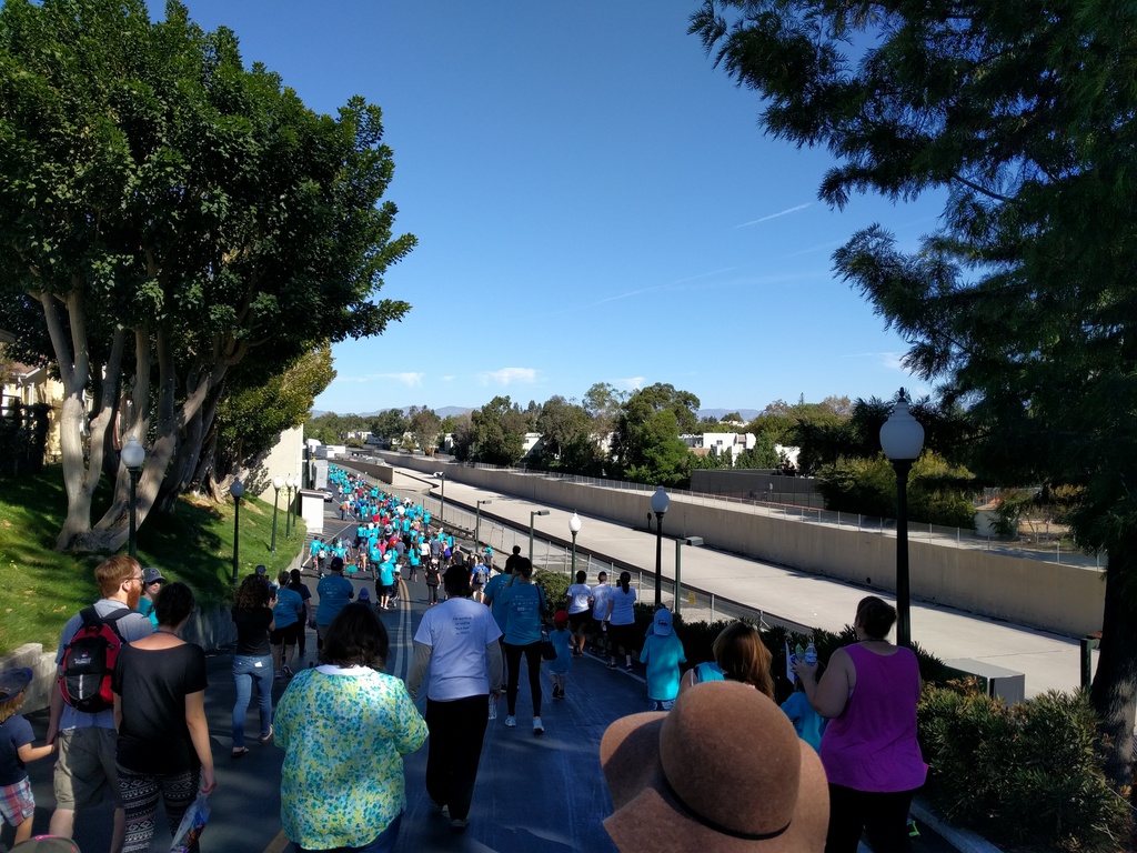
The region’s flood control system is built around that threat, channeling storm water out to sea as quickly as possible. In many places, rivers are lined with concrete, typically with a narrow channel in the middle to keep it flowing during dry spells and a wider channel to prevent flooding. This stretch of the Los Angeles River in Studio City is a good example:

Lots of people walking along a path above a wide concrete-lined trench. Trees on either side, blue sky beyond.

Other parts of the river are much nicer, even navigable at times, but this stretch really is just a concrete drainage ditch inside a bigger drainage ditch.

Unfortunately what’s needed in flood years ends up hurting us in drought years, sending too much of the rain we do get into the ocean instead of collecting it. In recent years they’ve been testing systems to recharge groundwater reserves, but if drought becomes more common — and indications are that it will — we’re going to need to revamp the system.
Mirrored Bricks

Reflecting Bricks / Flooded Courtyard

There’s a sunken courtyard near the office where I work. It’s shaded on three sides by an office building, a hotel, and a parking structure. Trees soften the sunlight that does make it through. Three steps lead down from the edge to the brick floor, with a smattering of concrete benches and planters.

One day last winter, a rainstorm flooded the courtyard. Not very deep, maybe an inch or so (if that). Just enough to turn the bricks into a mirror, which really struck me as bizarre.

Photo Challenge (WordPress): Mirror

Down the Narrow Hallway

Hayworth Hallway

A few years back I saw a Tennessee Williams parody at the second stage of the Hayworth Theater in Los Angeles. It was a few rooms opened up and converted in the office section of a historic building, complete with the old-style lighting, molding, wooden floors and carpet that you see here. The “lobby” was the entry level for the back stairway, where they’d somehow managed to cram in a bar and a couple of tables. Then you’d walk up the stairs, around a corner, and down this long narrow hallway until you reached the right door.

The building dates to the 1920s, when offices had character and weren’t just boxes. The theater seems to be gone now, as it’s since been turned back into offices. Because apparently that’s something Los Angeles doesn’t have enough of?

Photo Challenge (WordPress): Narrow

Raven and Poe: Partners for (n)evermore

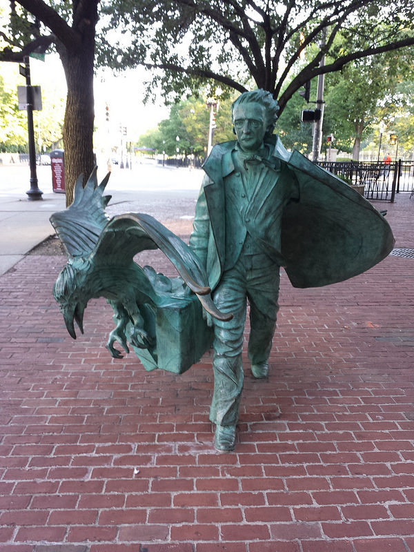
Life-sized bronze(?) statue of Edgar Allen Poe walking, carrying a briefcase, with a raven emerging from the case. It's covered with a green patina, and situated on a brick-paved walkway on a city street with trees in the background.

Last September I visited Boston to attend a friend’s wedding. While there I took a guided walking tour of the Freedom Trail, and also wandered the city a bit on my own. I stumbled on this statue with a pair of unconventional partners: Edgar Allen Poe and a raven.

I particularly like how they’ve balanced it so that the raven appears to be flying out of the briefcase as the writer’s papers burst out. My photo album on Flickr has another angle of this statue, plus another 15-odd sightseeing shots.

On the Grid

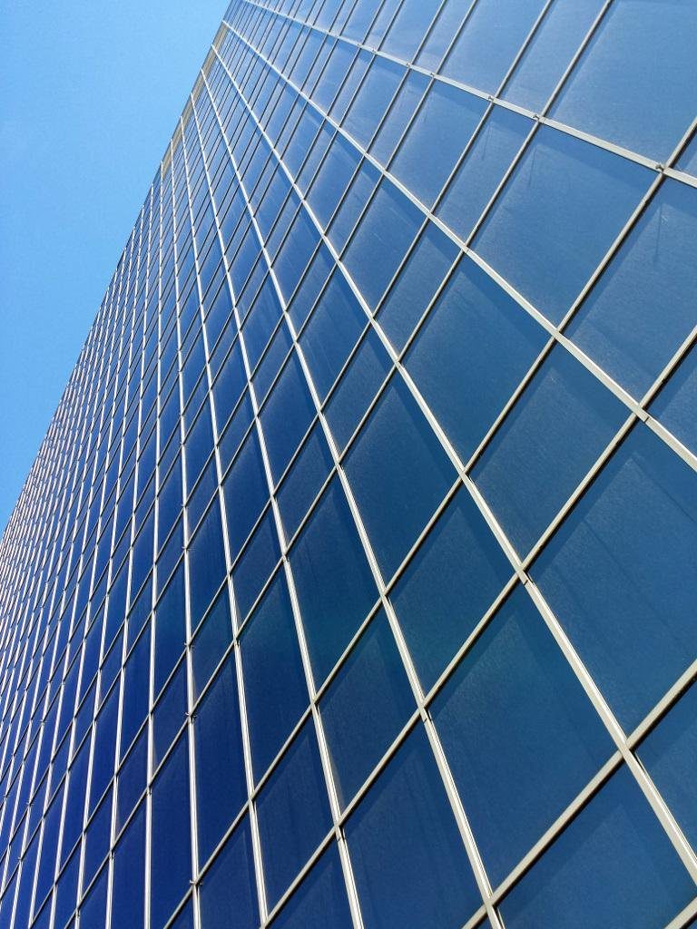
Looking up along the side of a building that's entirely covered with glass panes.

On Friday afternoons I like to take a walk around the area when on break from work. This week I went looking for grids. I noticed very quickly that grids are everywhere in a modern city.

Window grids on glass-faced buildings. Paving and floor tiles. Wall tiles in the bathroom. Ceiling tiles in the office or retail stores. Storm drain grates. The patterns of bumps on the non-slip section of a wheelchair ramp.  If you zoom out, there’s the pattern of streets, all the electrical and data cables making their way around town…

…and of course the metaphorical grid that all of us are plugged into, that some of us long to get off of.

Sunset in the Corner

Sunset Silhouette

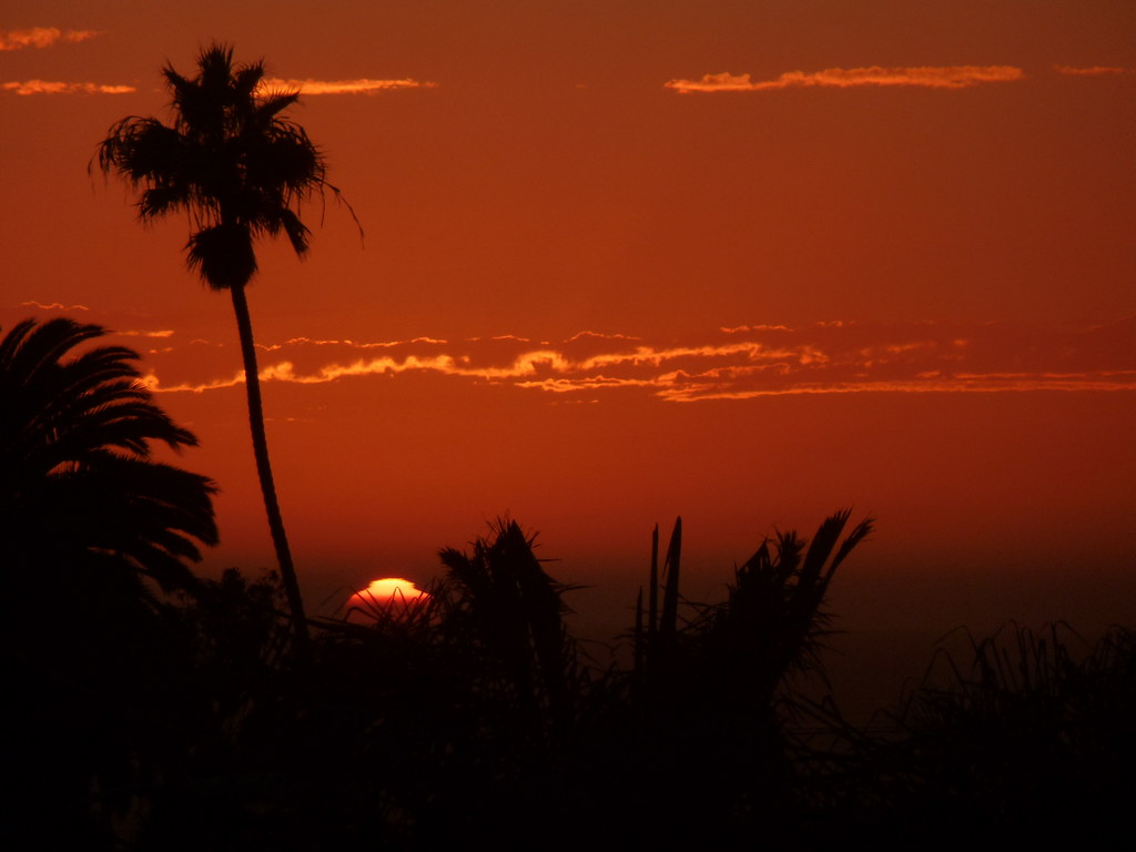
When I have time to compose a scenic photo, the rule of thirds is usually on my mind. Even if I’m not putting an object off-center, I’m trying to line up visual borders with the 3×3 grid — a horizon, or the top or side of a building, or a treeline. Sometimes symmetry works better, though…and sometimes I’m just trying to get a snapshot of someone or something.

In this case, I stopped by a store after work and arrived just as the sun was about to set, at the top of a hill, giving me a clear view to the west. When that happens, you don’t go inside, you stop and watch!

(What I really wanted was to catch a nearby farm-style windmill silhouetted against the sun, but unfortunately the best place for that was in the middle of a crosswalk across a busy street, and I wasn’t going to trust in my ability to stop, aim, take a few photos, and get back to the side.)

Photo challenge (WordPress): Rule of Thirds

Icy Hot?

Icy?

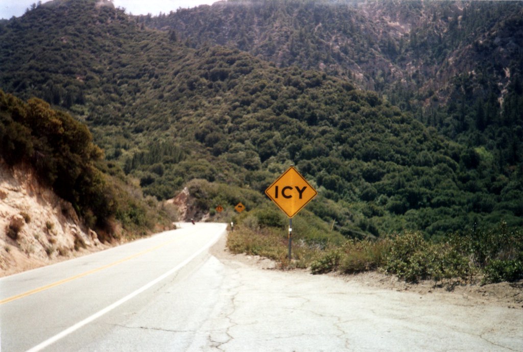
It’s hard for me to really pick a photo that says “warmth.” Perspective on cold is different in Southern California, where winters approach but rarely drop below freezing, and the winter rains make December through April the greenest months of the year. So we don’t use fires much, and flowers and greenery make me think of the cool winter/spring weather instead of the hot, dry, brown summers. Even beaches make me think of late afternoon ocean breezes.

So I thought I’d pull out a shot for irony: An “Icy” warning sign somewhere in the San Gabriel Mountains, seen during the warmth of spring…when it most definitely isn’t icy!

Carpet of Yellow Flowers

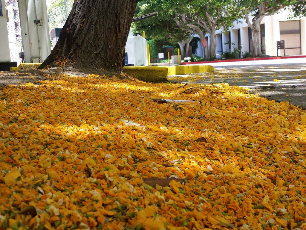
Blanket of yellow flowers

There are a lot of jacaranda trees near where I work, lining the walkways through the business and hotel parks and lining the sidewalks along the street. There are also a lot of these trees, which look so similar that I assumed they were more jacarandas until the first spring I was here, when they bloomed bright yellow instead of light purple. From what I can tell, they’re Tipuana trees, also known as Pride of Bolivia trees, and despite the similarities, they aren’t closely related.

The flowers act the same, though, dropping in thick blankets as spring turns to summer.

This particular tree, sadly, is no longer there. It was ripped out this fall, as part of a massive landscaping project to convert one of the office buildings into a hotel.

Abandoned Railroad

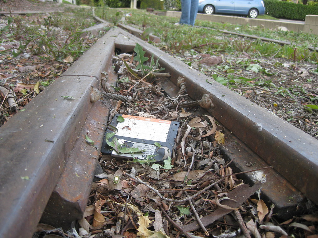
Abandoned floppy disk on tracks

This week’s photo challenge is “abandoned” — kind of like this blog was for a few months. 😉

A few years back, I explored a disused spur of railroad tracks branching off of the main line into a light industrial area of town. In many places, the tracks had already been ripped out, leaving only gravel paths (and in some cases stepping stones, as seen below) between buildings that no longer needed freight access.

I found this floppy disk sitting on the track, and the combination of an obsolete data technology and what I thought of at the time as an obsolete transportation technology just struck me.

A path of stepping stones between two buildings.The funny thing is, trains in the form of light rail have made a resurgence in the last few years. Los Angeles’ Metro rail system, started in the 1990s, has expanded dramatically. I actually commuted myself along the Green Line at one point, and while normally that meant driving halfway there to pick up the end of the line, there were a few times I tried picking up a connecting (well, not quite connecting) train from Metrolink, at a station not far from this spot. In fact, the track in the first two photos has since been converted into a footpath connecting a shuttle stop to the commuter rail station.

TODO: Import to K2R, link forward and back to Obsolete (2009).
QUESTION: Import the original 2014 post (with suitable tag/link changes), or update the text and post it as new? Also connect to this Mastodon post (local archive copy)

Eerie: Cave Ghosts, Moon and Fog

Halloween moon

On learning that this week’s photo challenge is “eerie,” I started thinking of all the photos in my library that might fit. My mind immediately went to this one, a shot of a nearly-full moon behind ragged clouds taken, appropriately enough, on Halloween last year.

Just about all of my “eerie” shots involve the moon, or clouds/fog, or both. For instance, this view of fog pouring over a hillside at sunset, and the shadows of the trees inside it.

Fog Shadows - Black and White

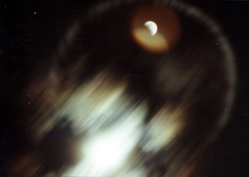
Or this one, a this scanned photo of a lunar eclipse from 1994. I’m fairly certain that the bright splotch is the moon, and the rest, including the ring and the sharper image at upper right, are lens artifacts. It’s been so long that I don’t remember any specifics of taking the photo.

Eclipse Ring

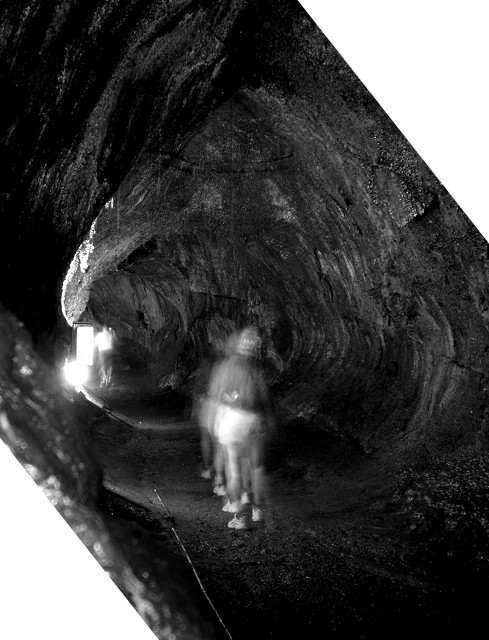
Finally I remembered a series of photos I took at the Thurston Lava Tube in Hawaii, trying to use natural light (with only the cave walls to brace the camera) and picking up ghost images of the other tourists wandering through.

Thurston Lava Tube Ghost Images

I have some more shots of that cave over at K-Squared Ramblings. That’s also the blog where I’m trying to do NaBloPoMo this month. I started yesterday with a post about yesterday’s shooting at LAX and the spillover it had on the parts of town near the airport: roads closed, constant helicopter noise, sirens, and thousands of stranded travelers leaving the airport on foot, trudging over a mile dragging their luggage in a ragged line. You know, if I’d thought about it and found the right position for a photo, that would have made for a good “eerie” image.

From Lines to Patterns

Transmission Tower

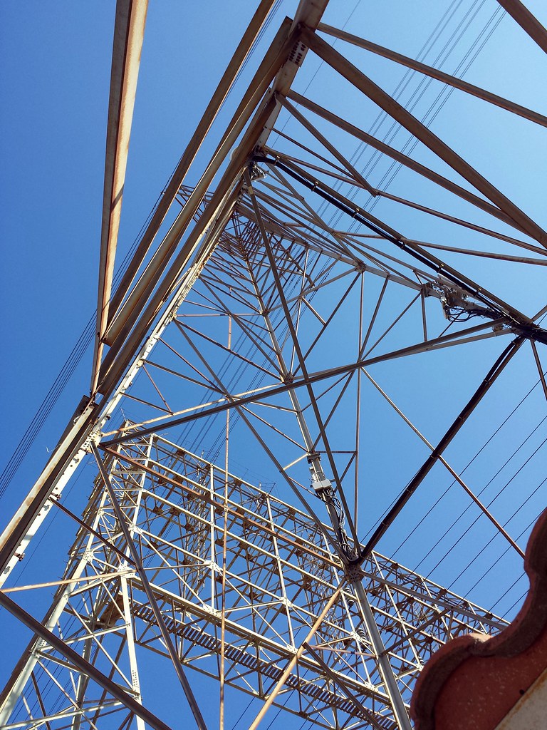
The funny thing is, this photo was purely an accident. I was walking around the neighborhood with my son, idly looking for something for another photo challenge while we were out (Instagram’s #WHPdoortodoor) and spotted a maintenance shed under an electrical transmission tower. I took a few shots of the door, then looked up and snapped this shot. It wasn’t until we got home that I realized it would be perfect for the lines to patterns challenge!

I really like the way the different parts of the towers make different densities of patterns. The only thing that bothers me is the bit of roof in the lower right corner, but no matter how I crop it, it ends up looking either unbalanced or incomplete.

Hahn Park at Sunset

Hahn Park at Sunset

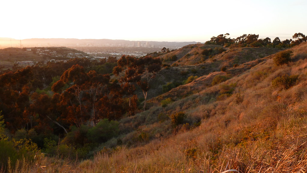
Kenneth Hahn Park sits within the Los Angeles basin, half of a cluster of hills bisected by La Cienega Blvd. The western side is an oil field. The eastern side is broken into a maintained city park and something vaguely resembling wilderness, all of it surrounded by suburbs, homes, retail outlets and light industry. Trails run up into the hills, with benches at scenic viewpoints making it possible to have a picnic lunch while you look across the basin to see — depending on which viewpoint and how clear it is that day — Downtown Los Angeles, Hollywood, Santa Monica, the South Bay or the Palos Verdes Peninsula.

This is somewhere along the trail on the western side of the hills, looking north through the valley. I believe the line of buildings in front of the Santa Monica Mountains is Wilshire Blvd.

Chasing the Golden Hour

I wasn’t going to spend a lot of time looking for a good spot to take photos during the golden hour for this week’s photo challenge late Saturday afternoon. There was an open space with electrical towers nearby that I thought would make for some interesting pictures. But the clouds rolled in as I drove down the street, and I spent the next hour racing inland, trying to stay ahead of the marine layer.

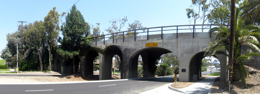
The best shot I got of the bunch, with clouds intermittently covering and revealing the sun, was this one. It’s the historic Pacific Electric Railway Bridge in Torrance, California, which I stumbled across a few years back completely on accident. What makes it an even better choice is that when I first found it, I shot it in broad daylight. You can really see the difference that lighting makes!

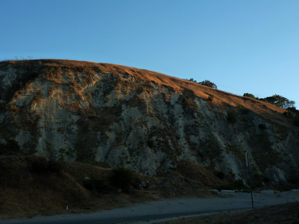
At this point, I started heading into the hills, figuring I’d focus on the clouds instead of the lighting, though on the way I spotted this view of a hilltop lit up by the sun. I could see it from halfway across town, and wasn’t sure I’d make it before the sun dipped too low or the clouds rolled in to block the light.

The park I’d planned to go to for views above the cloud layer turned out to be in the cloud layer. The fog was hitting the west face of the hills, moving over, and just barely pouring over the summit ridges. I took my first Instagram video, of low clouds racing across the sky before dissipating.

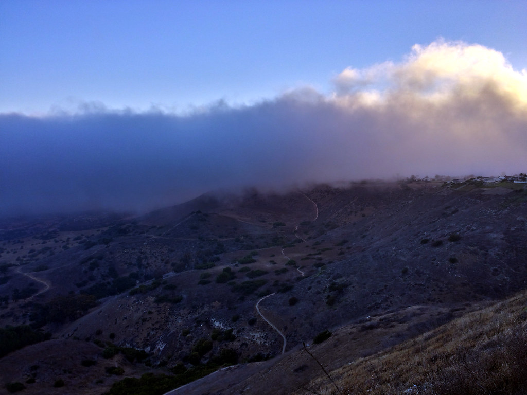
I finally went to another park on the inland side of the hills, and found myself in a clear space surrounded by a wall of clouds to the west and south. This is the view to the west, with the fog backlit by the sun.

Backlit Fog Creeping Over the Hills

This particular park is a great place to get away from it all for a while, so I stuck around for a few minutes to just relax before heading home for the evening.

Fireworks Without Focus

Blurry Fireworks

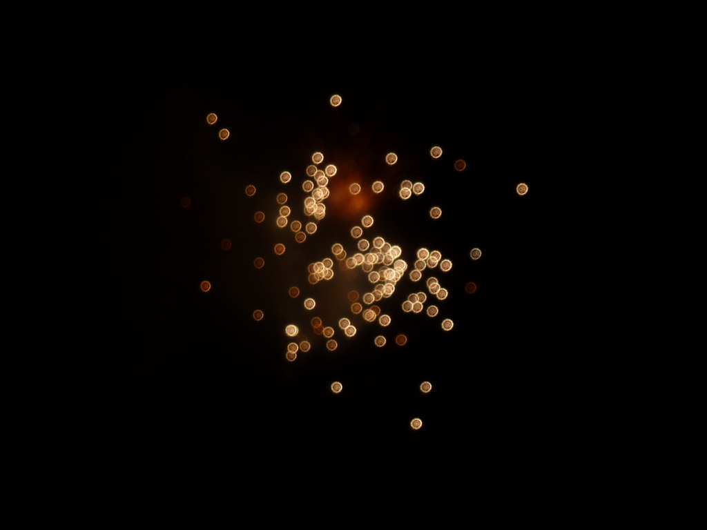
I took a zillion photos of last night’s Independence Day fireworks display, but this one stood out for an odd reason: The camera didn’t focus properly. I’m not sure why “fireworks mode” doesn’t automatically set focus to infinity, but it made for a really interesting effect.

Here are ten more highlights from the evening.

Fleeting Rays of Sunlight

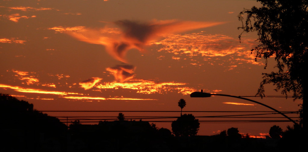
Fire Dragon

I’m fascinated by the interplay of sunlight and clouds, particularly oddly-shaped clouds and optical effects like haloes and sundogs. The trick with photographing them is that you have to take the picture now. You can’t run and get another camera and come back. You can’t wait until you reach your destination even if it’s only 5-10 minutes away.

Lighting conditions will change. A halo might get stronger, or it might vanish entirely. A cloud that looks like a flaming dragon or phoenix right now will be a dull gray in a few minutes. Patterns of rays will fade from view. I’ve missed my chance a lot of times by being stuck on the road, unable to find a suitable place to stop until the moment had passed.

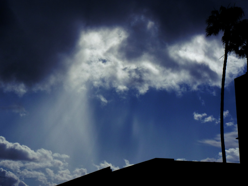
Light Rays After the Storm

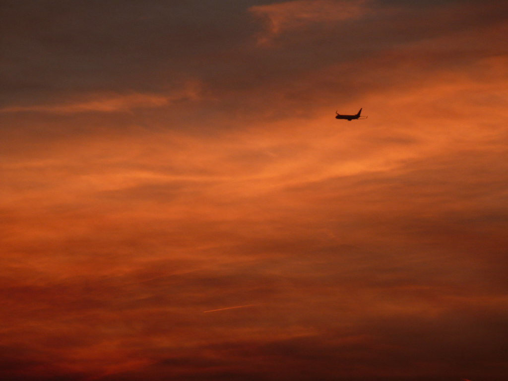
Flying into the Sunset

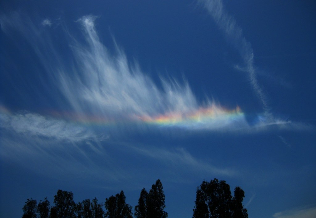
Feathery Not-a-Rainbow

This last shot is a circumhorizon arc formed by ice crystals. It always appears parallel to the horizon, like a flattened out rainbow, and if the crystals cover enough of the sky it will actually form a circle all the way around the sky. I spotted it while walking back to work from lunch and only had my phone with me — and I actually ran the rest of the way to the office so I could get my camera. I was lucky, since these really don’t appear very often.

The Sign Says: Don’t Even Think About It!

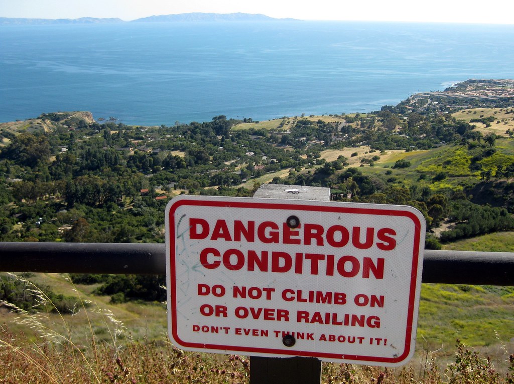
Don't Even Think About It!

I couldn’t decide between these two photos for the latest photo challenge. The first is a warning sign at the edge of Del Cerro Park in Rancho Palos Verdes. It’s a part up at the top of the hill, ending in if not exactly cliffs, a steep drop hundreds of feet down as the hills roll toward the ocean.

“Danger” signs are a dime a dozen. It’s the “Don’t even think about it!” that struck me as photo-worthy.

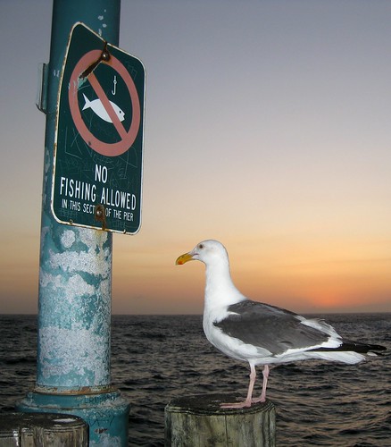
As for this second one, it’s not so much the sign that I found interesting as the fact that the bird looks like it’s staring at it, dismayed.

“Gee, I hope this doesn’t apply to seagulls, too!”

No Fishing Allowed

I collect pictures of funny/odd/interesting signs at K-Squared Ramblings, so if you’re interested in more, head over there for a look.

Palace of Fine Arts

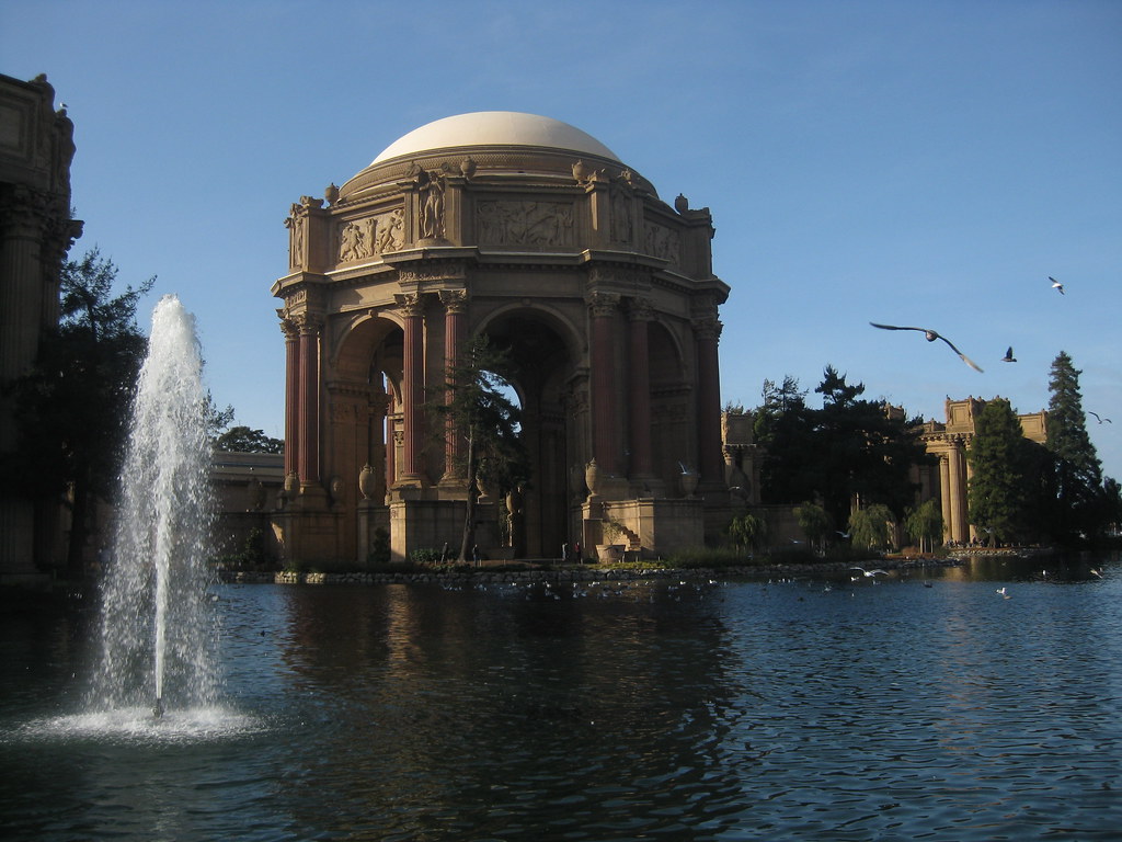
Palace of Fine Arts: Dome and Fountain

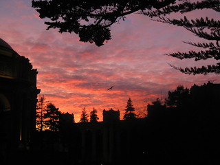
The Palace of Fine Arts in San Francisco, originally built in 1915 for the Panama-Pacific Exposition, as seen on a November afternoon. This place would fit in perfectly in a Maxfield Parrish painting, and I was pleasantly surprised when we left the museum that evening to see a Maxfield Parrish sky behind it.

Maxfield Parrish Sky II

Santa Monica Bay at Dawn

Santa Monica Bay at Dawn

I don’t usually get out before sunrise, but on this particular morning in 2011 I was up to watch a lunar eclipse. I found myself out on the road running along the top of the cliffs near the beach, watching the eclipsed moon set through the haze above the ocean.

You can see the Redondo Beach power plant near the right, with the pier in front of it and King Harbor jutting out into the bay. Way off in the distance you can see the lights of Santa Monica and Malibu, with the Santa Monica mountains behind them.

Mt. Saddleback

Saddleback from Tustin Hills: January 2011

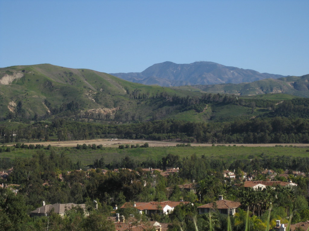
Today is moving day. I’ve spent most of my life in Orange County, where the eastern skyline (when not blocked by trees and buildings) is dominated by the Santa Ana Mountains. The two highest peaks, Santiago Peak and Modjeska Peak, are known locally as Saddleback because of the shape they form together.

We’re not moving far — just to the South Bay — but it’s going to be weird not seeing this landmark on a day-to-day (well, non-smoggy day-to-day) basis. You can see it from that far away, but it takes a very clear horizon and a very clear sky. On a good day I can just make out the silhouette from LAX.

This shot was taken in Lemon Heights, where you can (usually) see a lot more than just the silhouette.

Barn After the Storm

Old Town Irvine After the Storm

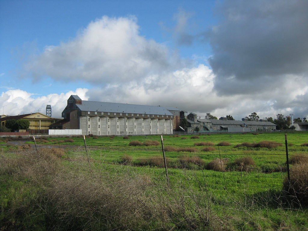
Well, technically, it’s Old Town Irvine during a lull in a storm last December. The clouds were moving very fast, with light and shadow moving over the empty fields and office parks, and I waited several minutes for the sun to play over this scene.

I particularly liked the contrast of the dead brown tumbleweeds scattered around the bright green meadow.

My one regret with this photo is not being able to capture the steep drop-off into a wash right below the frame. I could get the wash, or the sky, but not both.