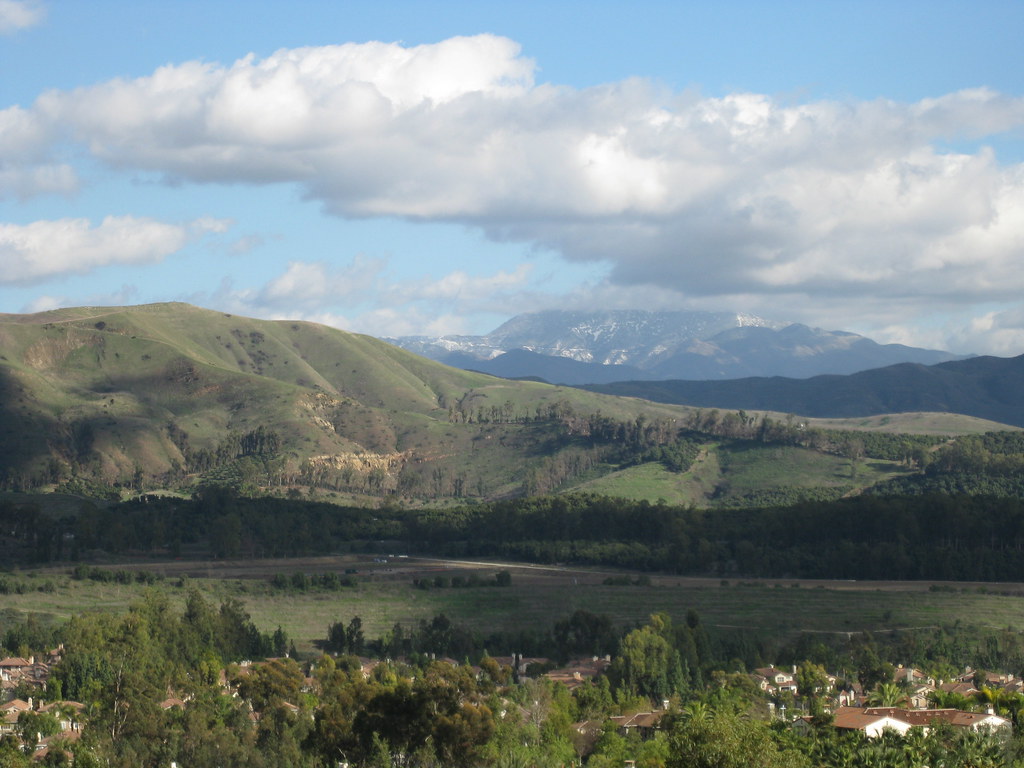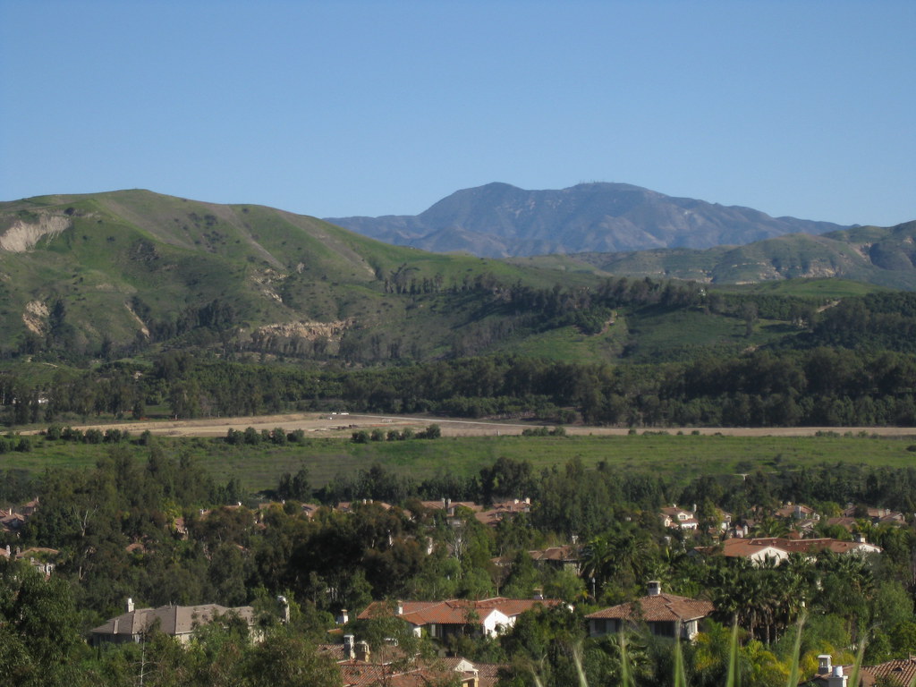
Today is moving day. I’ve spent most of my life in Orange County, where the eastern skyline (when not blocked by trees and buildings) is dominated by the Santa Ana Mountains. The two highest peaks, Santiago Peak and Modjeska Peak, are known locally as Saddleback because of the shape they form together.
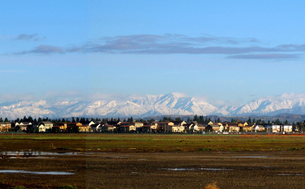
We’re not moving far — just to the South Bay — but it’s going to be weird not seeing this landmark on a day-to-day (well, non-smoggy day-to-day) basis. You can see it from that far away, but it takes a very clear horizon and a very clear sky. On a good day I can just make out the silhouette from LAX.
This shot was taken in Lemon Heights, where you can (usually) see a lot more than just the silhouette.