Stumbled on this amazing #APOD from 2014
#aurora #nightsky #mountains #snow
Photo credit & copyright: Max Rive
Archiving my Twitter, Facebook and other social network activity
Stumbled on this amazing #APOD from 2014
#aurora #nightsky #mountains #snow
Photo credit & copyright: Max Rive
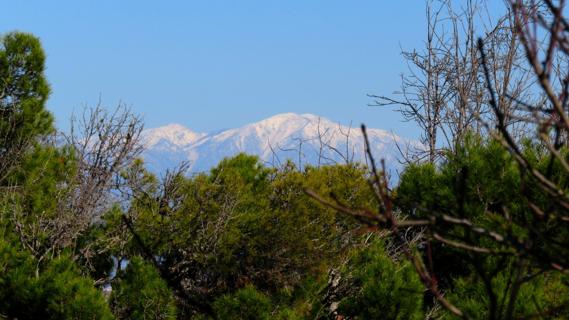
Distant Snow. (I already used the “Far Snows” caption.) #mountains #trees #snowline
Light dusting of snow in the mountains above Los Angeles after last night’s rain.
We need more… #mountains #sangabriels #losangeles
Working near an airport I’m used to seeing planes flying nearby and in the distance. But this afternoon something’s just hovering above downtown LA, way off in the distance.
I figured it was the Good Year Blimp, though I couldn’t tell for sure without the zoom on my camera. (Not that there are any other blimps that frequent the LA skies these days, but you never know.) It’s interesting just how odd it is when something looks vaguely like an airplane from a great distance, but doesn’t move like one. The other day I saw a bird hovering in a headwind. Same sort of “what IS that?” moment before I recognized it.
#losangeles #mountains #blimp #skyline #mtwilson #goodyearblimp #phonewantsmetotypeblimo
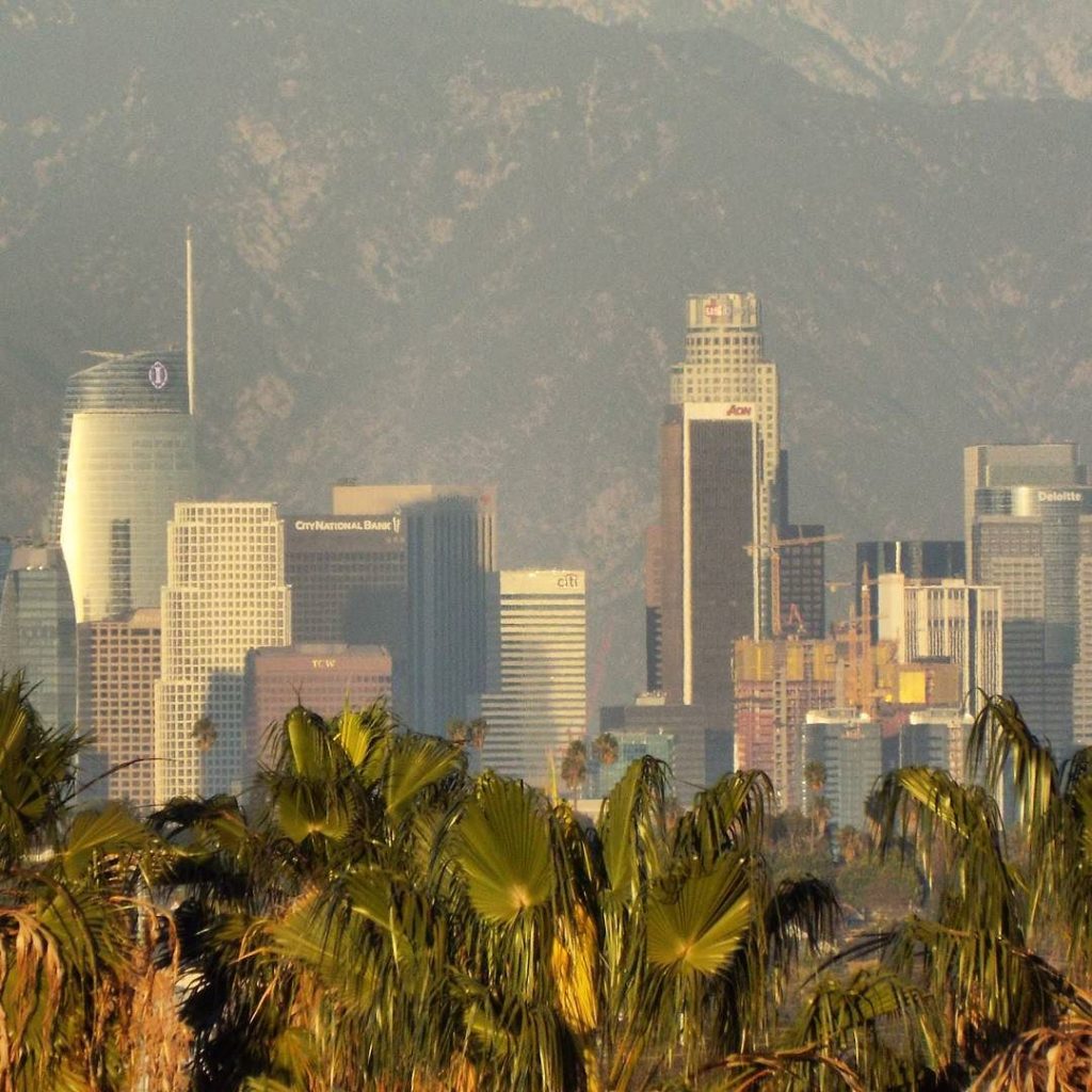
The hour grows late, and Los Angeles rises out of the palm trees, preparing for another night. 😉
Seriously, though, I was trying out different settings on a camera with a good zoom lens.
In response to KemoNine asking about the haze:
By LA standards, for 11 miles away, that’s crystal clear!
We’ve actually had some really clear days over the last month or so, especially after the winds have blown all the smog out to sea (before they bring all the dust out from the desert a day or two later), interspersed with smoggy days and days when the sky is full of smoke from wildfires in the mountains or canyons. The smoke from the massive fire raging in Ventura is mostly being blown the other way from here.
It’s a lot better than it used to be 20 years ago. A couple of years back on a visit to my parents’, I noticed that I could see the mountains from their front door. I had never noticed that the whole time I was growing up there!
And even that was better than their stories of LA smog in the 60s: outdoor school activities cancelled due to smog, being unable to see the end of a block, observing sunspots directly…
Air quality laws have made a huge difference!
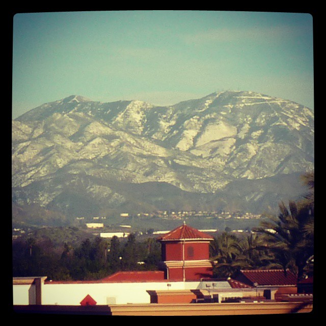
Snow covering far more of Mt Saddleback than usual. #snow #orangecounty #saddleback #newyearseve #mountains
It’s hard for me to really pick a photo that says “warmth.” Perspective on cold is different in Southern California, where winters approach but rarely drop below freezing, and the winter rains make December through April the greenest months of the year. So we don’t use fires much, and flowers and greenery make me think of the cool winter/spring weather instead of the hot, dry, brown summers. Even beaches make me think of late afternoon ocean breezes.
So I thought I’d pull out a shot for irony: An “Icy” warning sign somewhere in the San Gabriel Mountains, seen during the warmth of spring…when it most definitely isn’t icy!
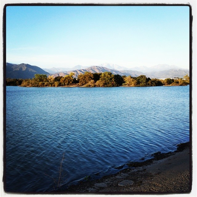
Lake and mountains at the Santa Fe Dam Recreation area in Irwindale.
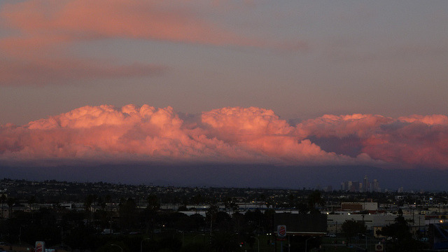
Sunset Clouds Above Downtown LA (2/2) on Flickr.
Gorgeous day after a rainstorm. I kept checking to see whether the San Gabriel Mountains had snow, but the clouds never quite lifted. Even at sunset only the lower slopes were visible…but those clouds made for some spectacular sunset viewing.
Today is moving day. I’ve spent most of my life in Orange County, where the eastern skyline (when not blocked by trees and buildings) is dominated by the Santa Ana Mountains. The two highest peaks, Santiago Peak and Modjeska Peak, are known locally as Saddleback because of the shape they form together.
We’re not moving far — just to the South Bay — but it’s going to be weird not seeing this landmark on a day-to-day (well, non-smoggy day-to-day) basis. You can see it from that far away, but it takes a very clear horizon and a very clear sky. On a good day I can just make out the silhouette from LAX.
This shot was taken in Lemon Heights, where you can (usually) see a lot more than just the silhouette.
According to Flickr, this is my most interesting* photo that isn’t someone in costume at a fan convention. It’s #68 on the list!
The photo was taken December 18, 2008, after a storm passed through Orange County and did something unusual: it blanketed the Santa Ana Mountains with snow. Saddleback typically gets a light dusting a couple of times a year, and the next peak down sometimes gets a little snow that melts by noon, but it’s rare for the snow to reach any lower.
The vantage point is a housing development on Quail Hill, looking southeast over the Irvine Spectrum area. You can see the Great Park Balloon near the left. Saddleback itself is out of frame to the right, but you can see its base (the peaks are covered in clouds) in the panorama I shot at the same time.
*Flickr’s “interestingness” is a measure that combines a count of views, comments, and “favorites.” The exact balance is secret, but from what I can tell, comments outweigh favorites, which outweigh views.