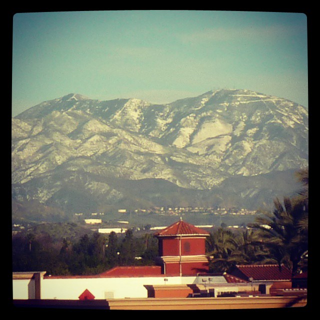
Snow covering far more of Mt Saddleback than usual. #snow #orangecounty #saddleback #newyearseve #mountains
Archiving my Twitter, Facebook and other social network activity
Snow covering far more of Mt Saddleback than usual. #snow #orangecounty #saddleback #newyearseve #mountains
Today is moving day. I’ve spent most of my life in Orange County, where the eastern skyline (when not blocked by trees and buildings) is dominated by the Santa Ana Mountains. The two highest peaks, Santiago Peak and Modjeska Peak, are known locally as Saddleback because of the shape they form together.
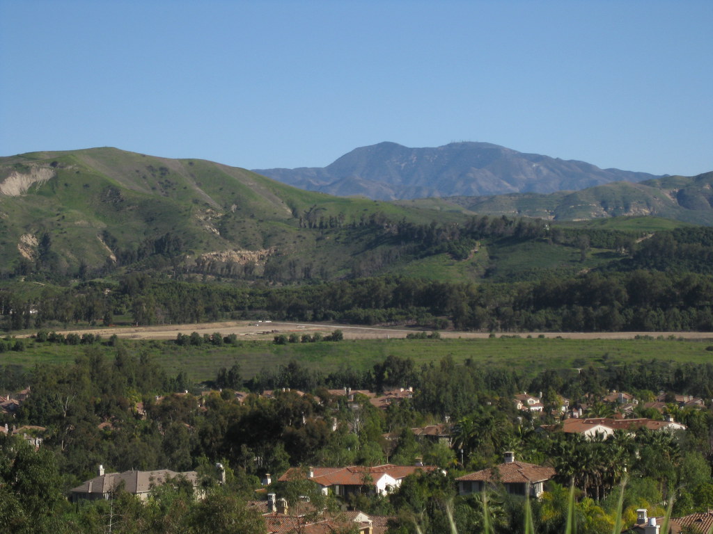
We’re not moving far — just to the South Bay — but it’s going to be weird not seeing this landmark on a day-to-day (well, non-smoggy day-to-day) basis. You can see it from that far away, but it takes a very clear horizon and a very clear sky. On a good day I can just make out the silhouette from LAX.
This shot was taken in Lemon Heights, where you can (usually) see a lot more than just the silhouette.
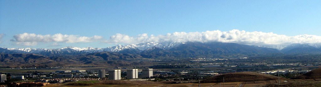
Santa Ana Mountains Snow – Quail Hill View, originally uploaded by Kelson.
Monday’s storm didn’t leave much snow on Saddleback (though the San Gabriel Mountains were pretty well covered), but it’s been cold enough that I half-suspect this weekend’s storm will leave a bit more.
So here are a couple of views of the Santa Ana Mountains and the Irvine Spectrum from last December, seen from Quail Hill. The first was taken the morning after the storm ended. The second was taken the following day at lunchtime. I’ve also got a full panorama taken at the same time as the first photo.
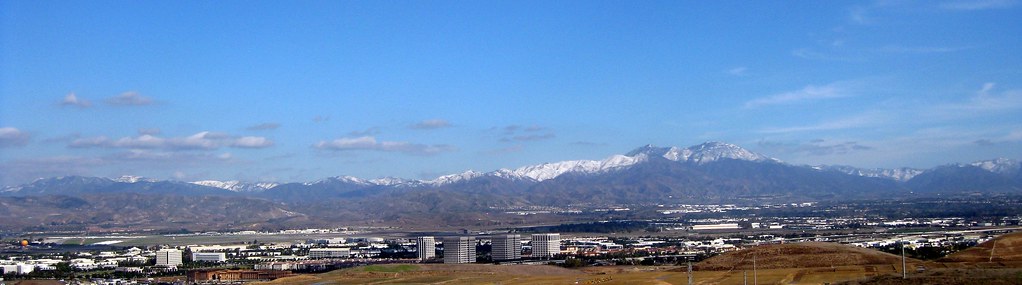
Santa Ana Mountains Snow – Quail Hill Revisited, originally uploaded by Kelson.